Stantec.io for Environmental Services
People to the power of technology
Clients tell us that Stantec is our people. Stantec.io empowers our people to deliver on the full promise of digital technology.
Our Environmental Services Digital Practice team is applying digital solutions through the project lifecycle, a process that is built upon data collection, storage, analysis, and communication. We can help collect, manage, and ultimately draw insight and value from data so you can make effective business decisions.
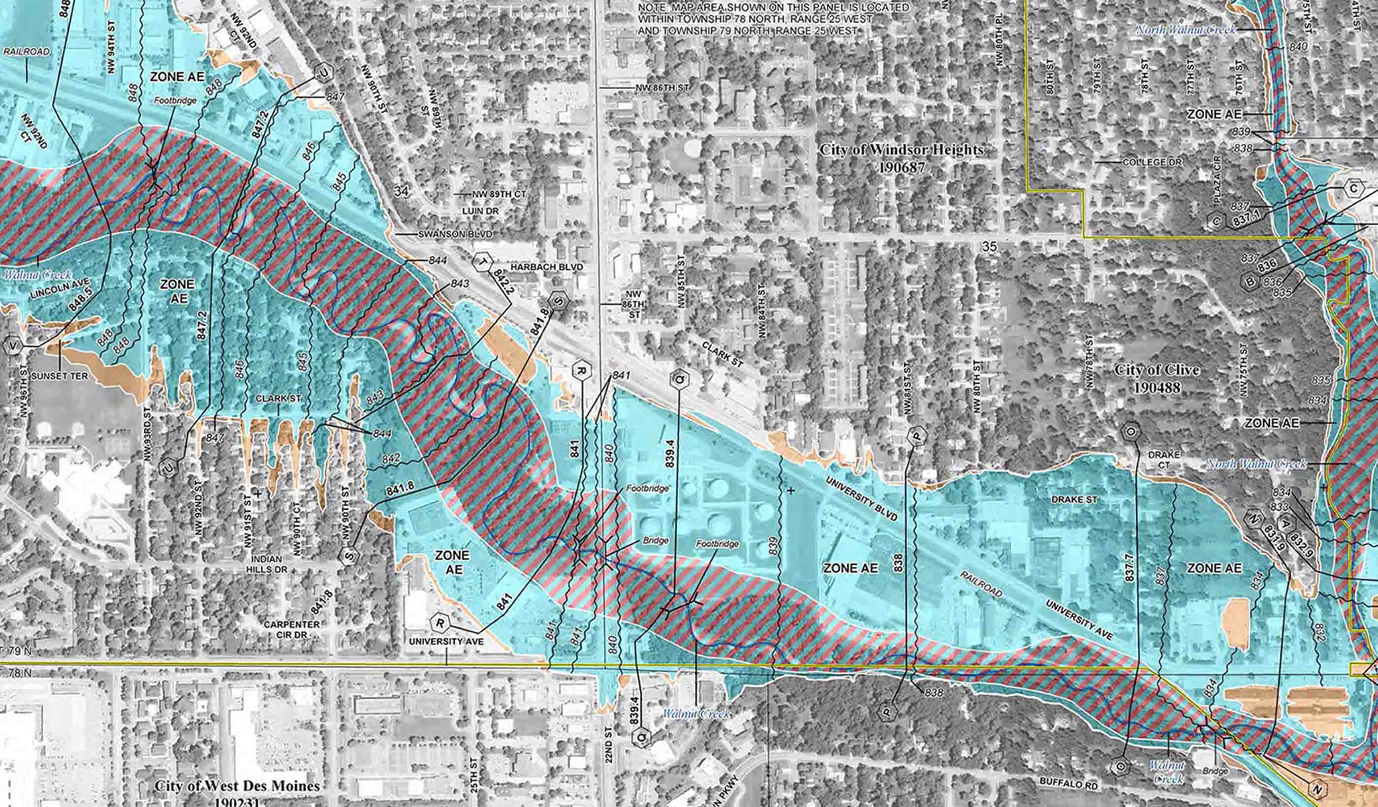
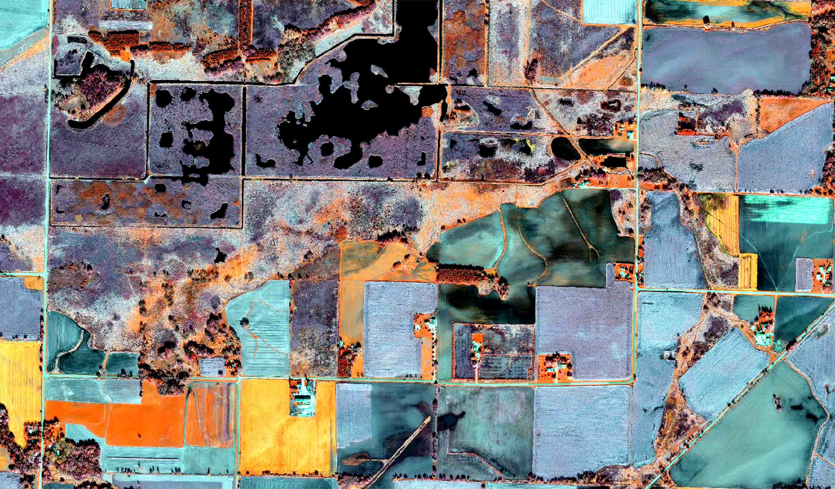
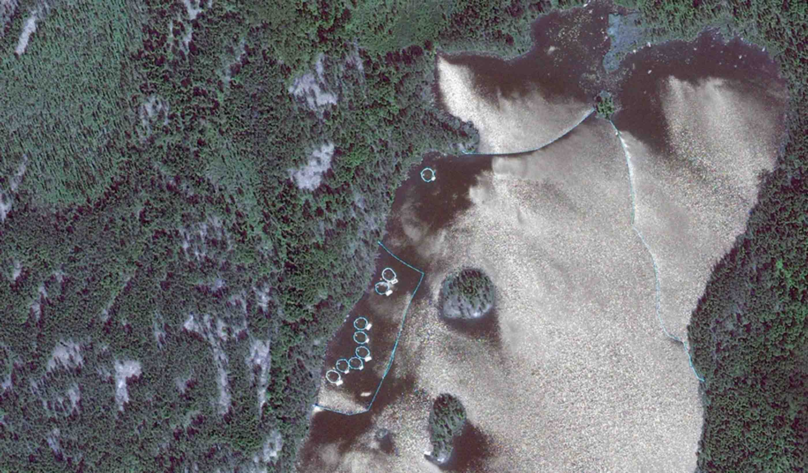
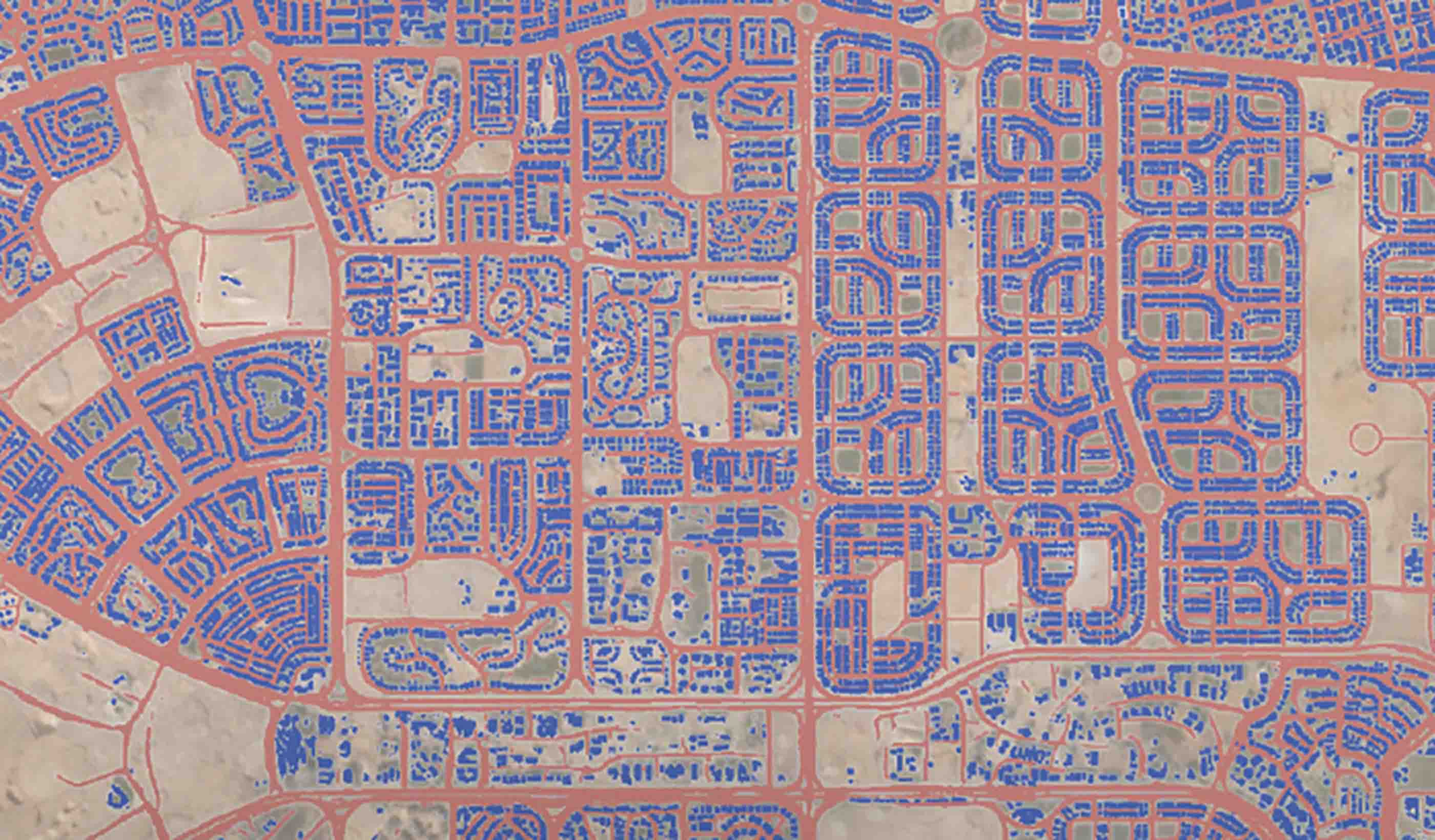
Through Stantec’s remote sensing scientists, we continually seek out new and innovative earth observation technologies that are cost effective, accurate, and timely. We are also developing software to help restore waterways, and we’re flying unmanned aerial systems to reach remote areas and reduce safety risks.
By automating data collection and analysis, developing secure web portals, and running statistical analyses, we can provide the information you need.
Visualization tools
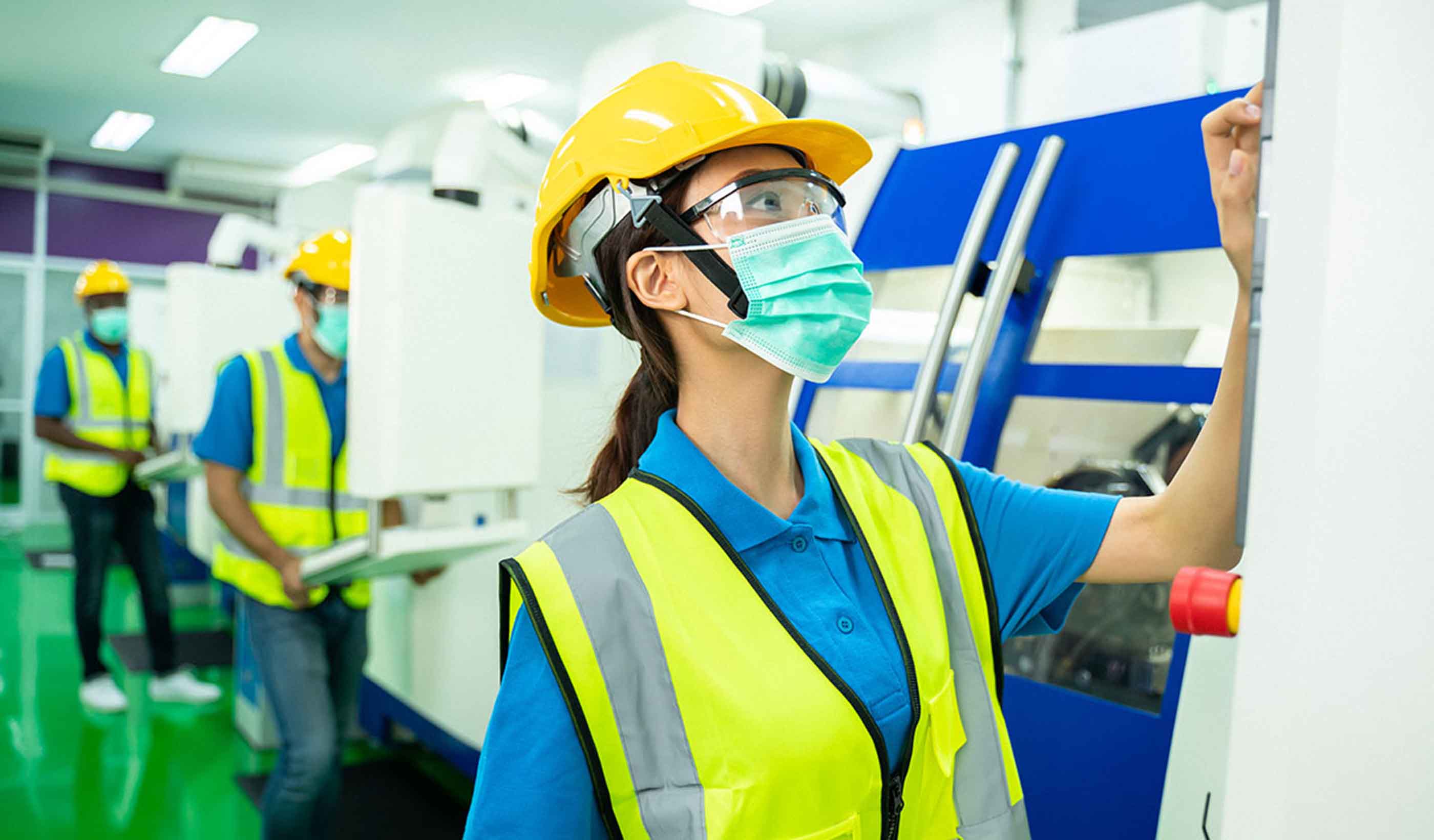
COVID-19 sent our world into a tailspin, but we didn’t let that stop us from serving our clients. When we needed a virtual engagement platform, our teams combined available technologies to create it. We helped clients host virtual open houses for the public, and we supported virtual site inspections by using RealWear HMT-1, a wearable tablet with camera. Inspectors used two-way audio and one-way video feed to enable the same level of service our clients have come to expect, while reducing the number of people travelling to a site. Read MoreDigital mobile tools
Leveraging mobile technology increases the efficiency and quality of data collection and reporting. Our tools streamline data processes—from field-data collection to review, analysis, and reporting. We collaborate with field crews and clients to automate necessary QA/QC checks, and we output curated data and reports tailored to our client’s needs. The Electronic Aquatic Utility (EAU) and OnLOOKer are examples of our digital tools and supporting electronic field data collection for aquatic survey and bird point counts. Read MoreUnmanned aerial systems (UAS)
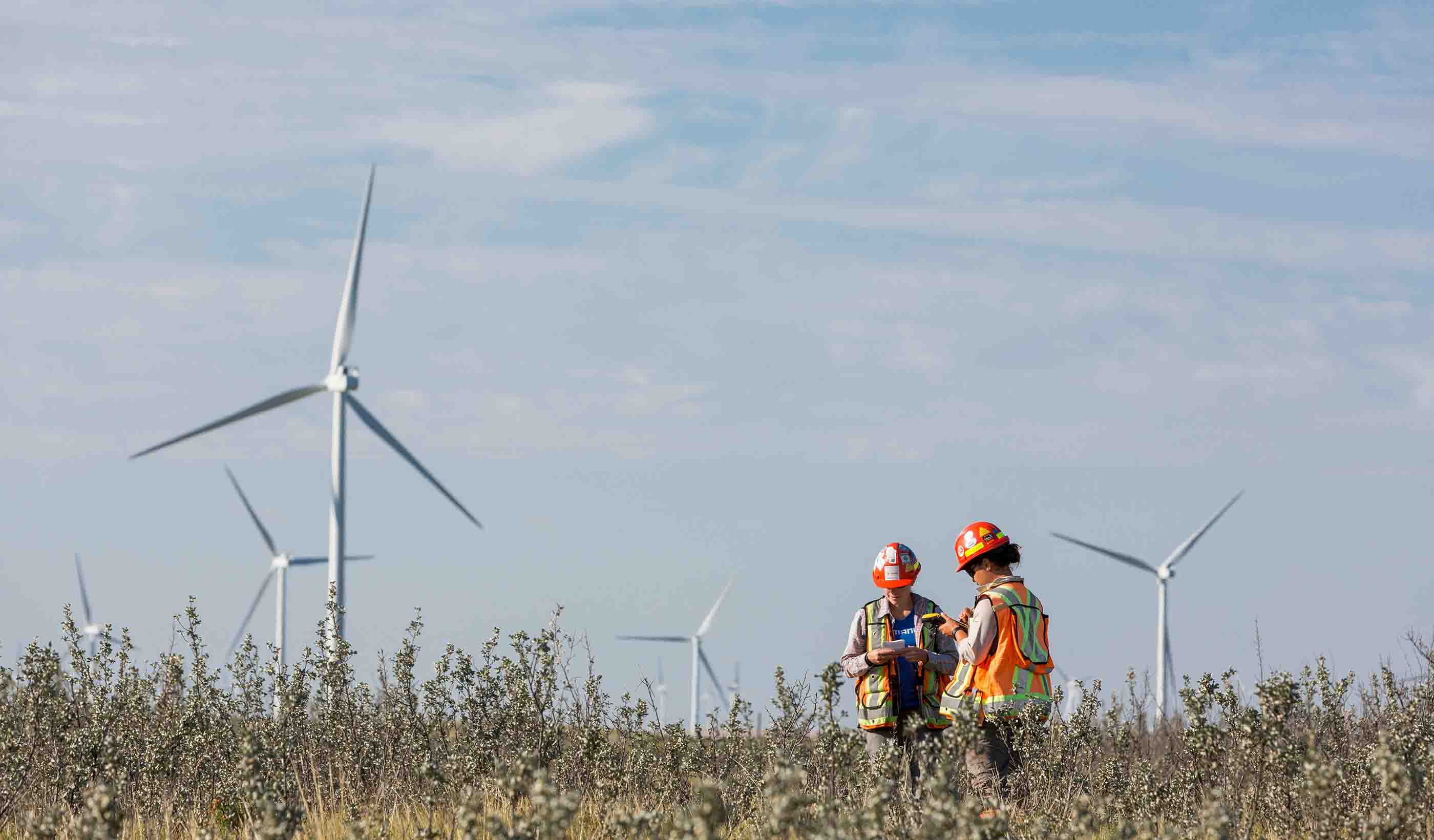
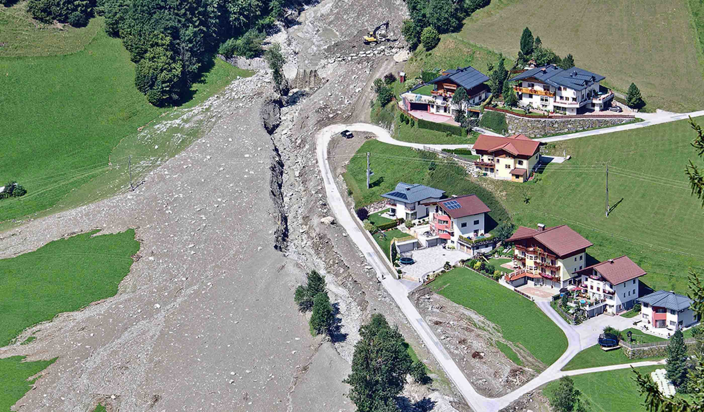
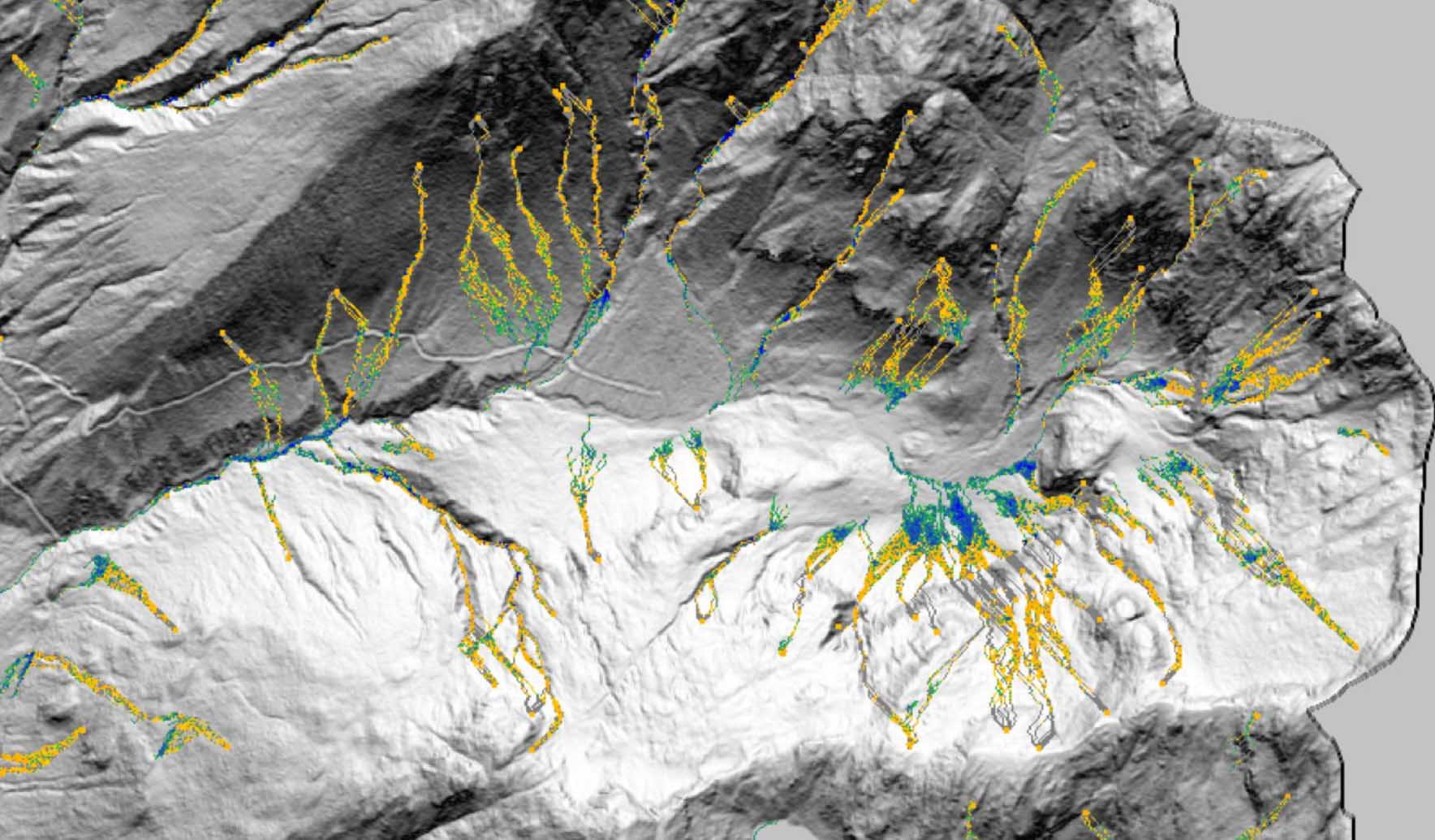
UAS can be used to conduct endangered species surveys, evaluate geohazards, and employ remote sensing to predict areas of failure—and these are just a few examples of how we’re using these tools. Available for use on most projects, a UAS provides a new perspective. Read MoreOur People
-

Grant Wiseman
Remote Sensing Technology Manager
-

Sanaz Imen
Senior Research Advisor
-

Richard Guthrie
Vice President
-

Matt Wagoner
Senior Principal, Geospatial Technology Leader
-

Mary Murdoch
Vice President, Environmental Services
-

Michael Preston
Senior Principal, Technical Discipline Leader, Ecology (Canada)
-

Natasha Banning
Group Lead, Rehabilitation, Closure and Geoscience
-

Kevin Madry
Senior Principal, Technical Discipline Leader, Atmospheric Sciences (US)
-

Trevor Peterson
Project Manager
-

Reid Person
Principal, Senior Air Quality Engineer
Services
-
Geotechnical Engineering & Materials Testing
We’re better together
-
Become a client
Partner with us today to change how tomorrow looks. You’re exactly what’s needed to help us make it happen in your community.
-
Design your career
Work with passionate people who are experts in their field. Our teams love what they do and are driven by how their work makes an impact on the communities they serve.
