Remote Sensing
See the bigger picture
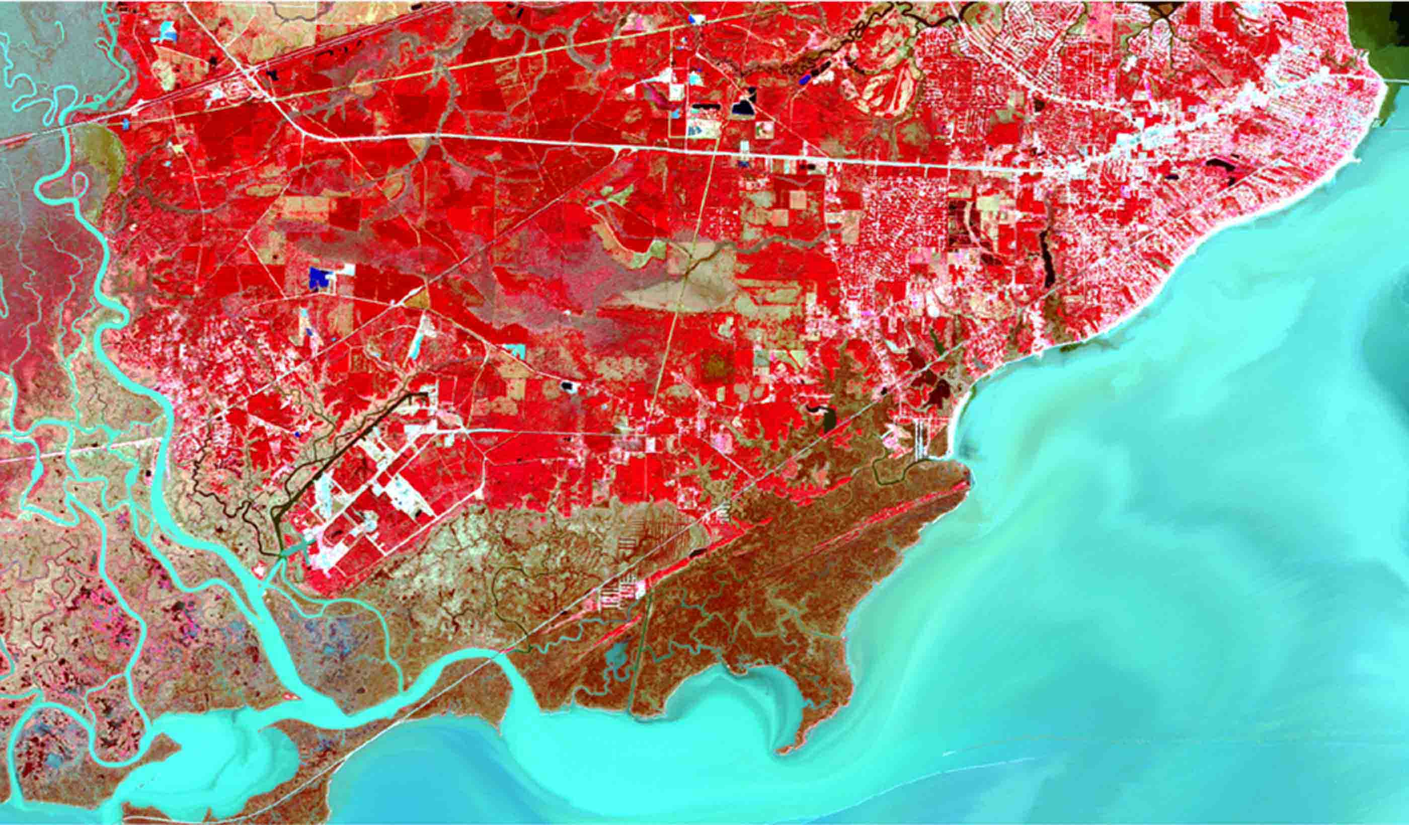
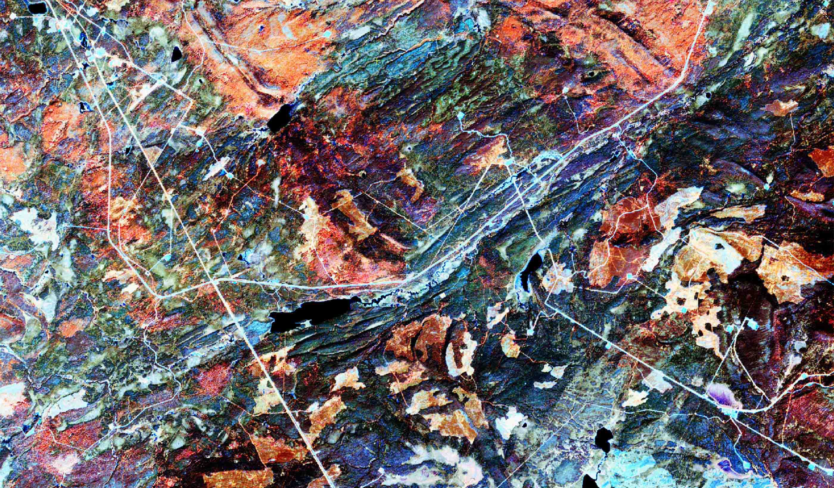
With Earth observation imaging solutions, we offer clients around the world a new way to scan, detect, and identify changes in the environment. Remote sensing analysts and environmental specialists collaborate around the world to apply remote sensing technologies—including unmanned aerial systems (UAS), photogrammetry, LiDAR, underwater acoustics, and satellite imagery along with ground control surveys—to generate accurate and reliable data that they convert to actionable information.
Predict the future by looking at the past
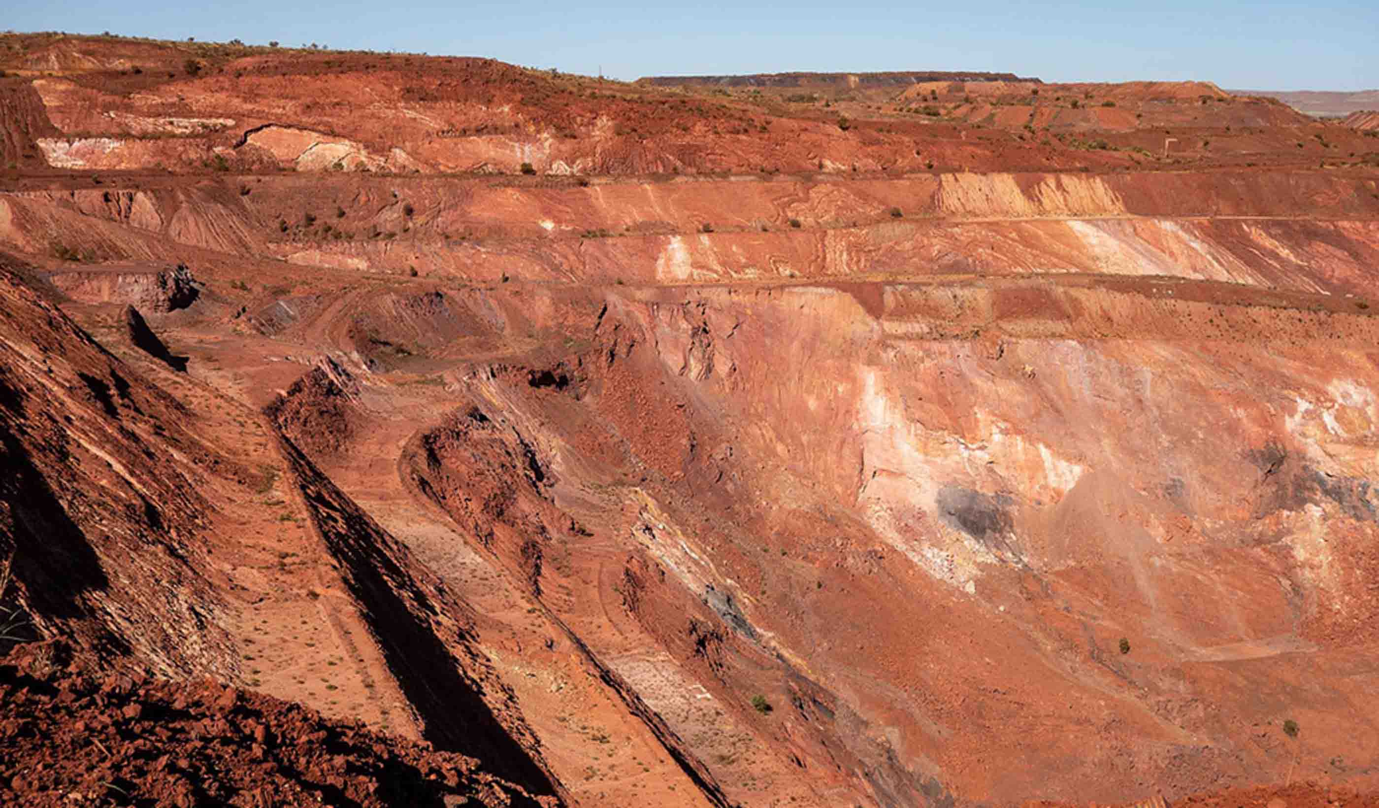
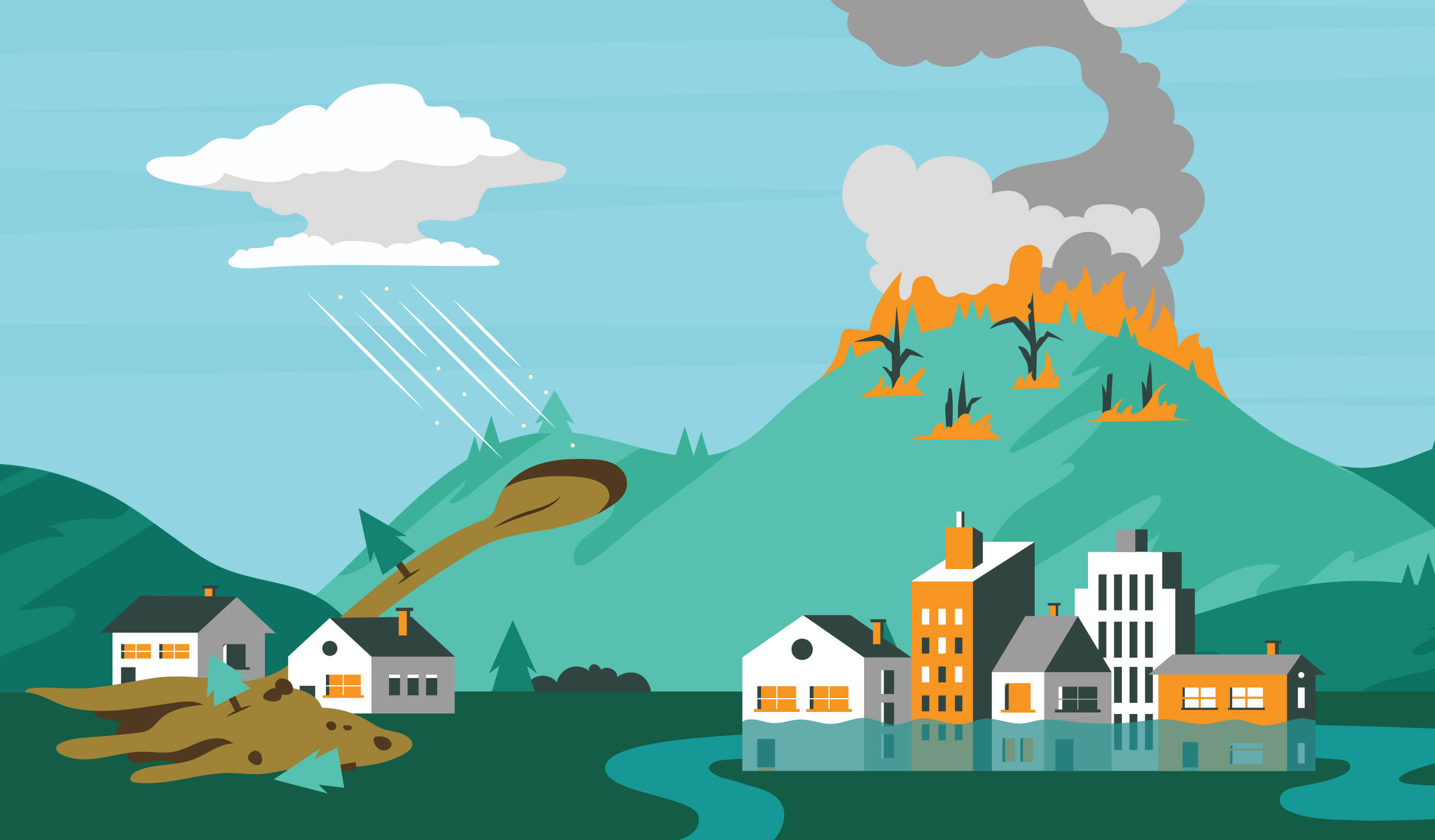
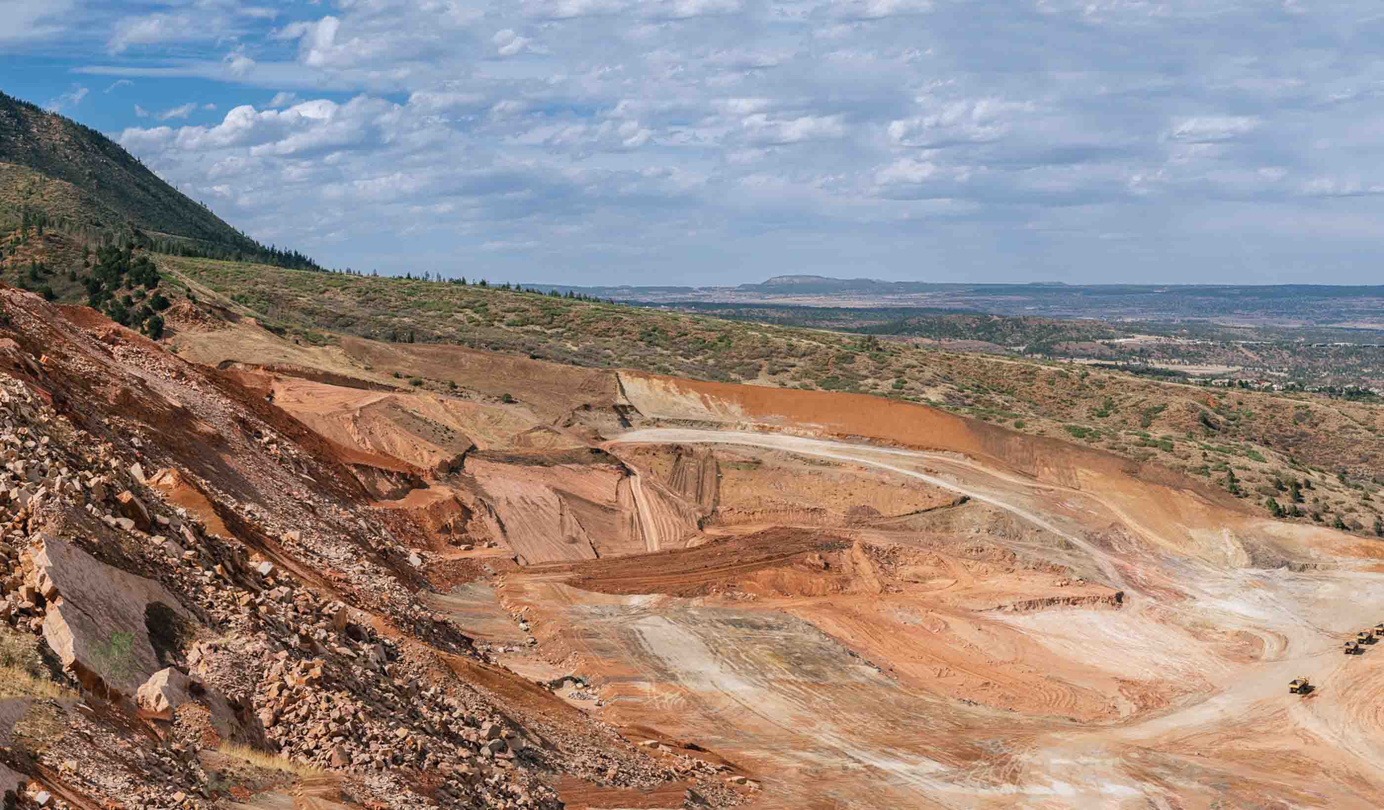
GroundWatch uses interferomic synthetic aperture radar (InSAR) signals to measure precise ground deformation rates. GroundWatch is capable of millimeter surface movement detection. Read MoreMonitoring our most valuable asset from space
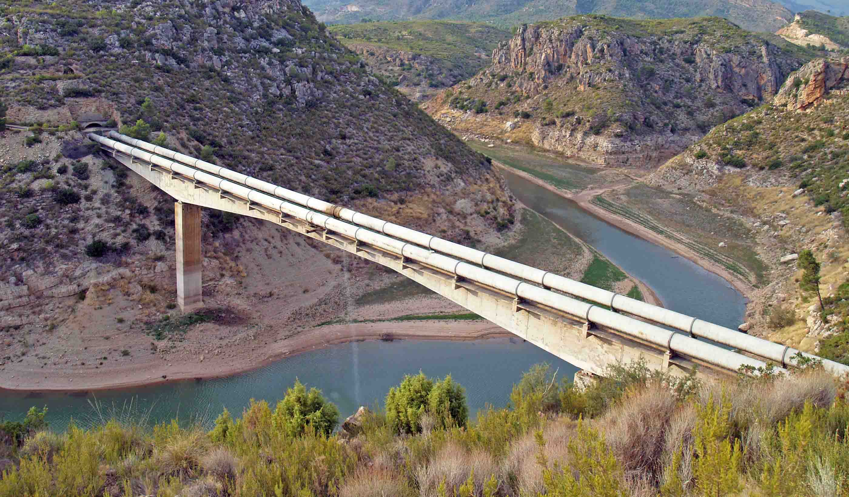
Stantec leverages a multitude of satellite image resources to delineate and quantify Total Suspended Solids (TSS) or water turbidity, surface water temperature and organic matter such as Chlorophyll-a among other water quality properties. WaterWATCH data is available at varying resolutions, frequencies, and wavelengths to meet your project needs. Best of all Stantec can perform this work from the desktop reducing health and safety risks and is very cost effective. Read MorePipeline leak detection monitoring using high-resolution satellite imagery
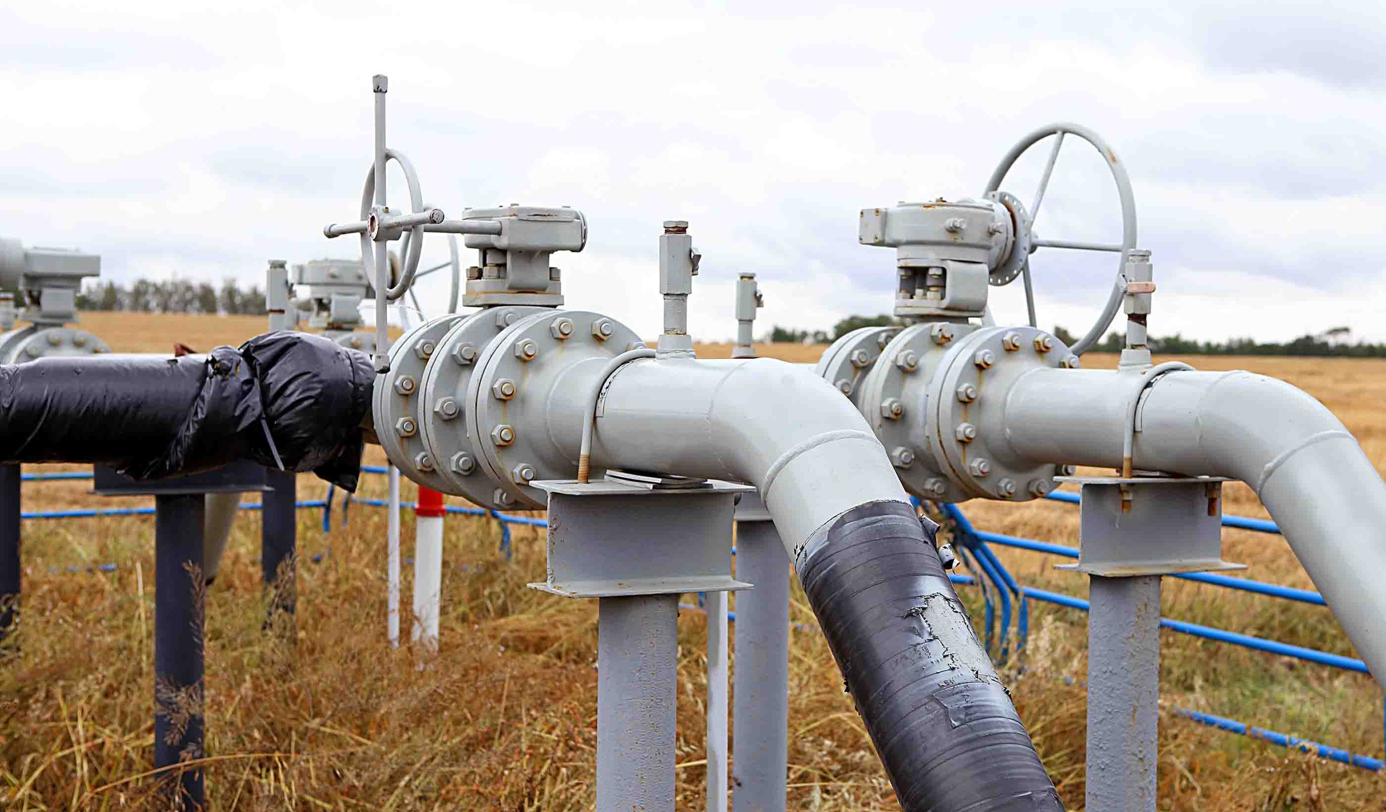
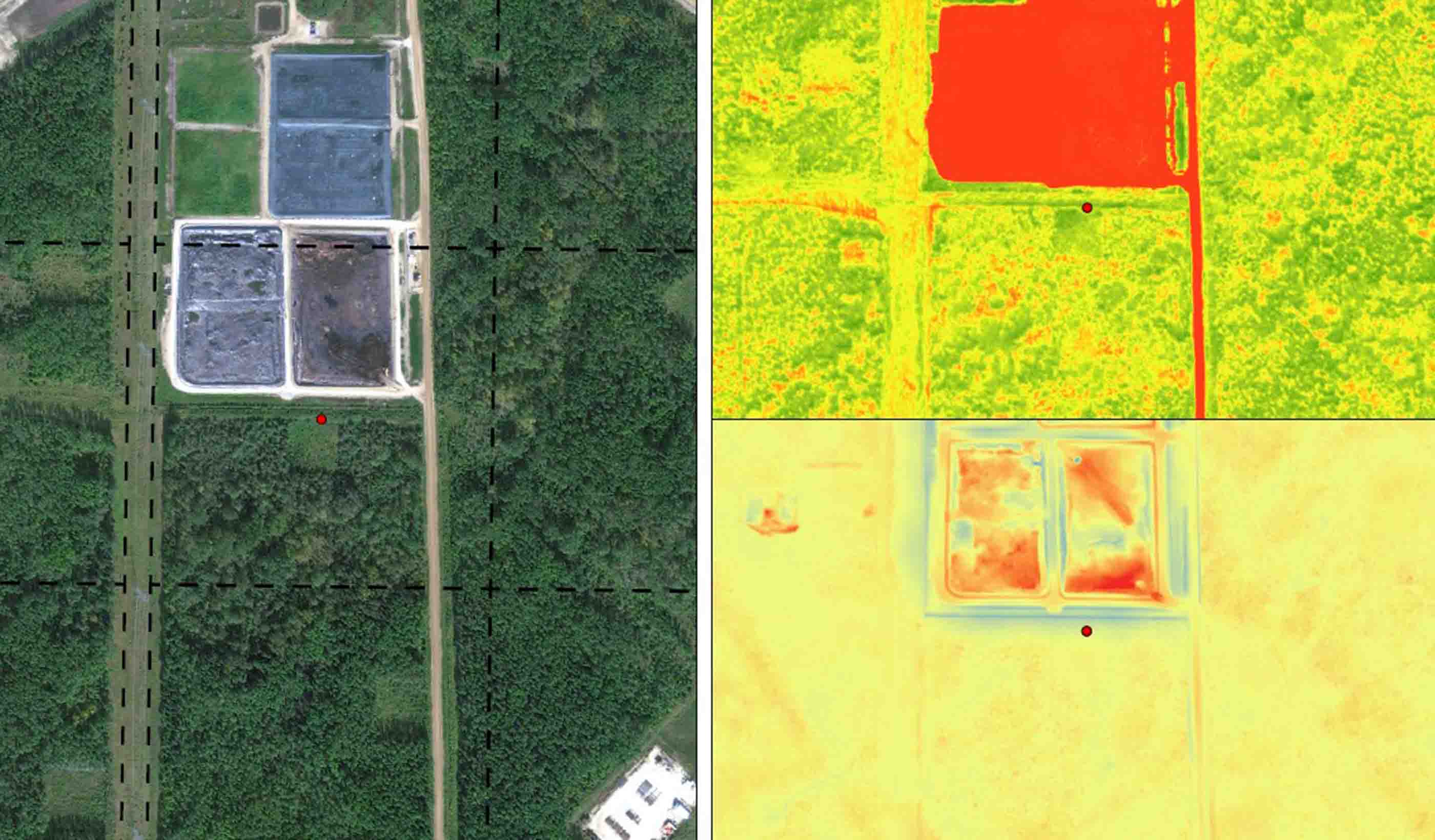
Have you ever wondered if you could identify pipeline releases using highly-frequent and fine-resolution satellite imagery combined with big data analytics? You can! We are proud to introduce Stantec PipeWatch™—a new, early release-detection service. PipeWatch™ automates the interpretation of daily satellite images enabling us to monitor thousands of kilometres of pipeline right-of-way networks. Read MoreWATCH your power lines for vegetation encroachment using satellites
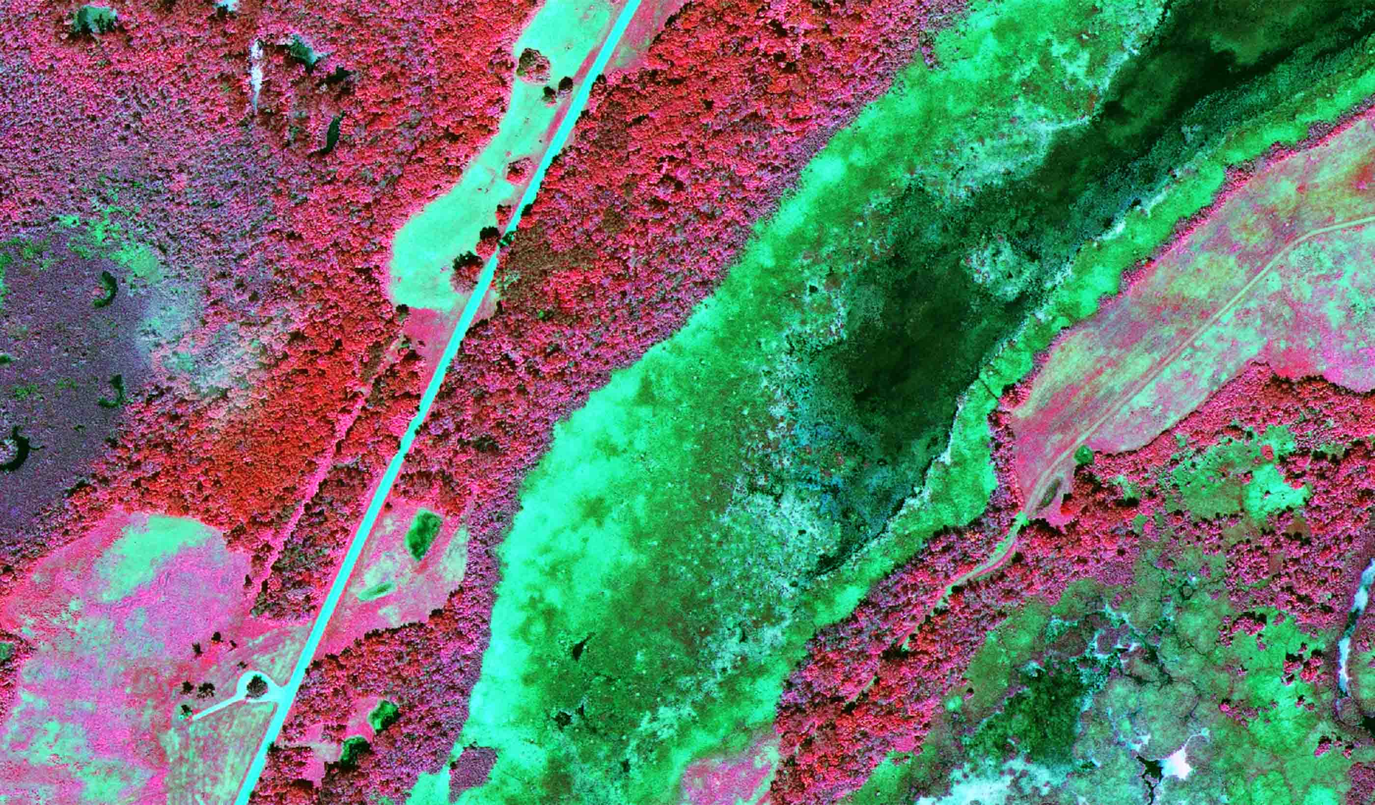
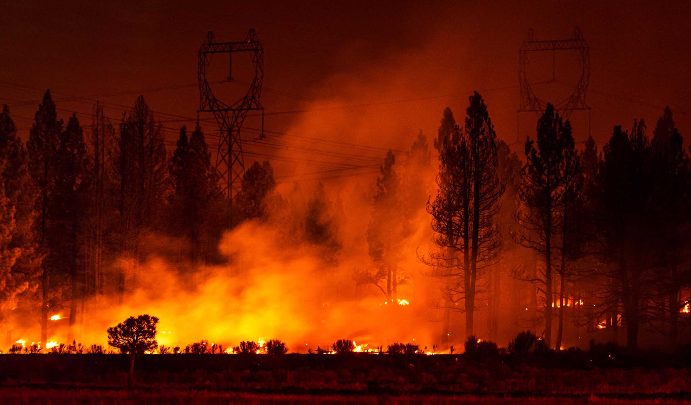
Vegetation encroachment on power lines leads to outages and wildfires every year. Potential problems can be identified through ground and aerial surveys and clearing activity databases, but these methods are labor intensive and costly. By harnessing geographic information systems and satellite imagery, we can quickly and effectively evaluate thousands of kilometres of power lines for vegetation encroachment. Our targeted approach provides you with an efficient and effective tool to manage vegetation encroachment. This is WireWatch™. Read MoreZero in: Extract value from your land and surface water monitoring programs
Meeting environmental commitments when monitoring surface features can be expensive and risky. But we’ve got you covered. Our remote sensing and environmental specialists have developed an innovative approach that combines high-resolution image datasets with object-based image analysis for more accurate and efficient monitoring. Using our ExtractX™ services, clients can increase the extent and accuracy of assessments while reducing cost as well as risk to staff. Use ExtractX™ to zero in on your target and extract just what you need. Read MoreSee wetland hydrology that you can’t see
The human eye only sees optical light (red, green, and blue) which is a tiny fraction of the entire electromagnetic (EM) spectrum. Our remote sensing specialists utilize satellite sensors that collect Synthetic Aperture RADAR (SAR) L-Band imagery with wavelengths 500,000 times longer than optical wavelengths. WetlandWatch monitors construction effects to wetland soils and vegetation otherwise not possible to provide a reliable, continuous, and complete picture of wetland hydrology across the landscape. Read MoreCapture the positive climate impacts of nature-based solutions
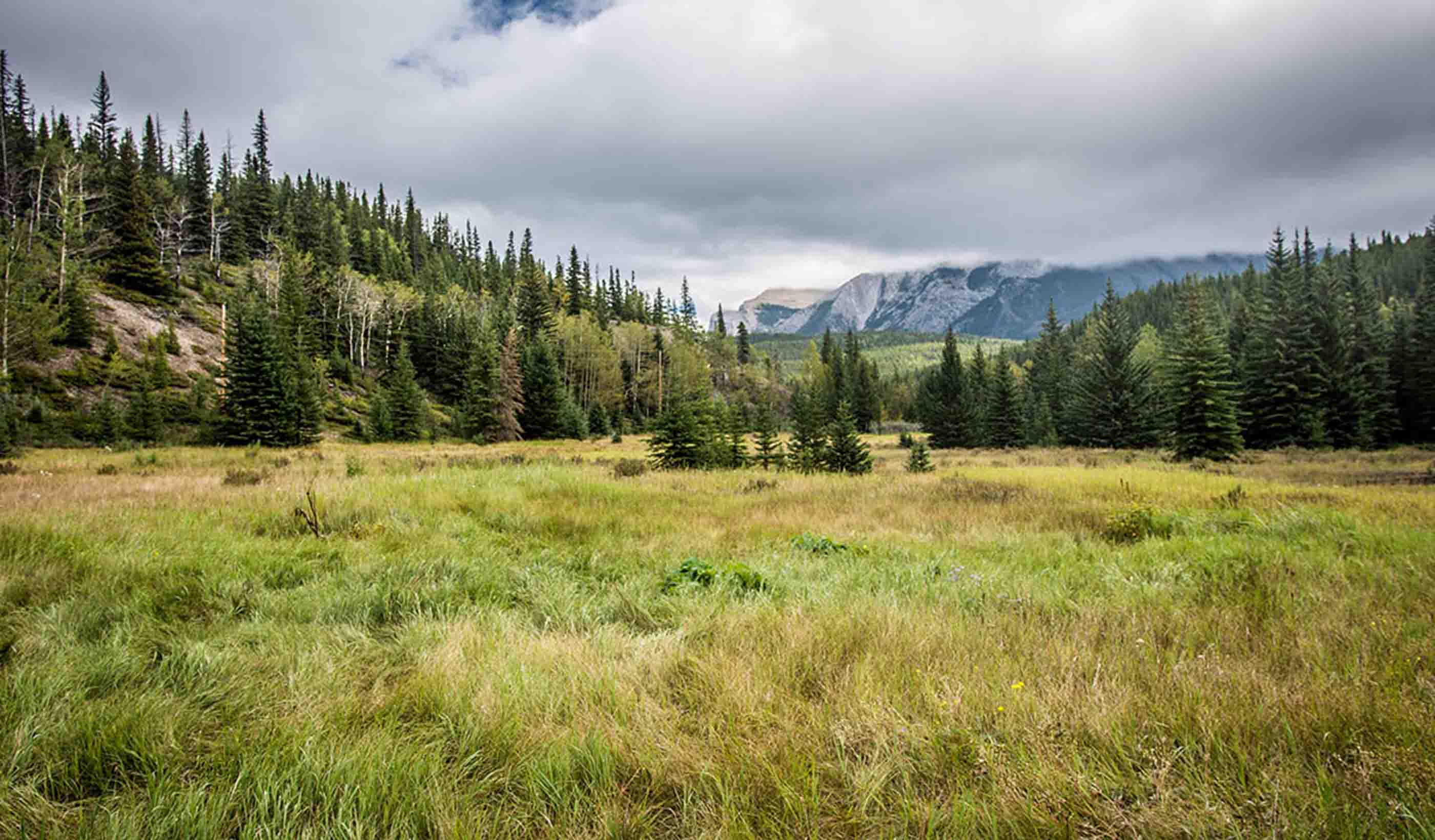
CarbonWatch technology calculates carbon stocks in carbon dioxide equivalents (CO2e) contained within plants and soils using earth observation datasets that include high resolution imagery and multibeam LiDAR elevation data to classify individual species types such as trees, shrubs, and herbaceous communities. Read MoreWhich remote sensing technology is right for you?
Take this interactive quiz to determine which Remote Sensing technology can add value to your project. Take QuizOur People
-

Justin Funk
Senior Scientist, Environmental Services
-
Victor Rasgado
Associate, Senior Surveyor
-

Sanaz Imen
Senior Research Advisor
-

Liz Abbey
Senior Geospatial Advisor
-

Cyrus Garner
Geotechnical Engineer
-

Eric Hertzman
GIS Specialist
-

Jocelyn Hiebert
Associate, GIS Team Lead, Senior GIS Analyst
We’re better together
-
Become a client
Partner with us today to change how tomorrow looks. You’re exactly what’s needed to help us make it happen in your community.
-
Design your career
Work with passionate people who are experts in their field. Our teams love what they do and are driven by how their work makes an impact on the communities they serve.


