- Location
- Alaska
- Offices
-
- Location
- Alaska
- Offices
Share
Satellite Imagery Predicts Infrastructure Damage from Permafrost Thaw
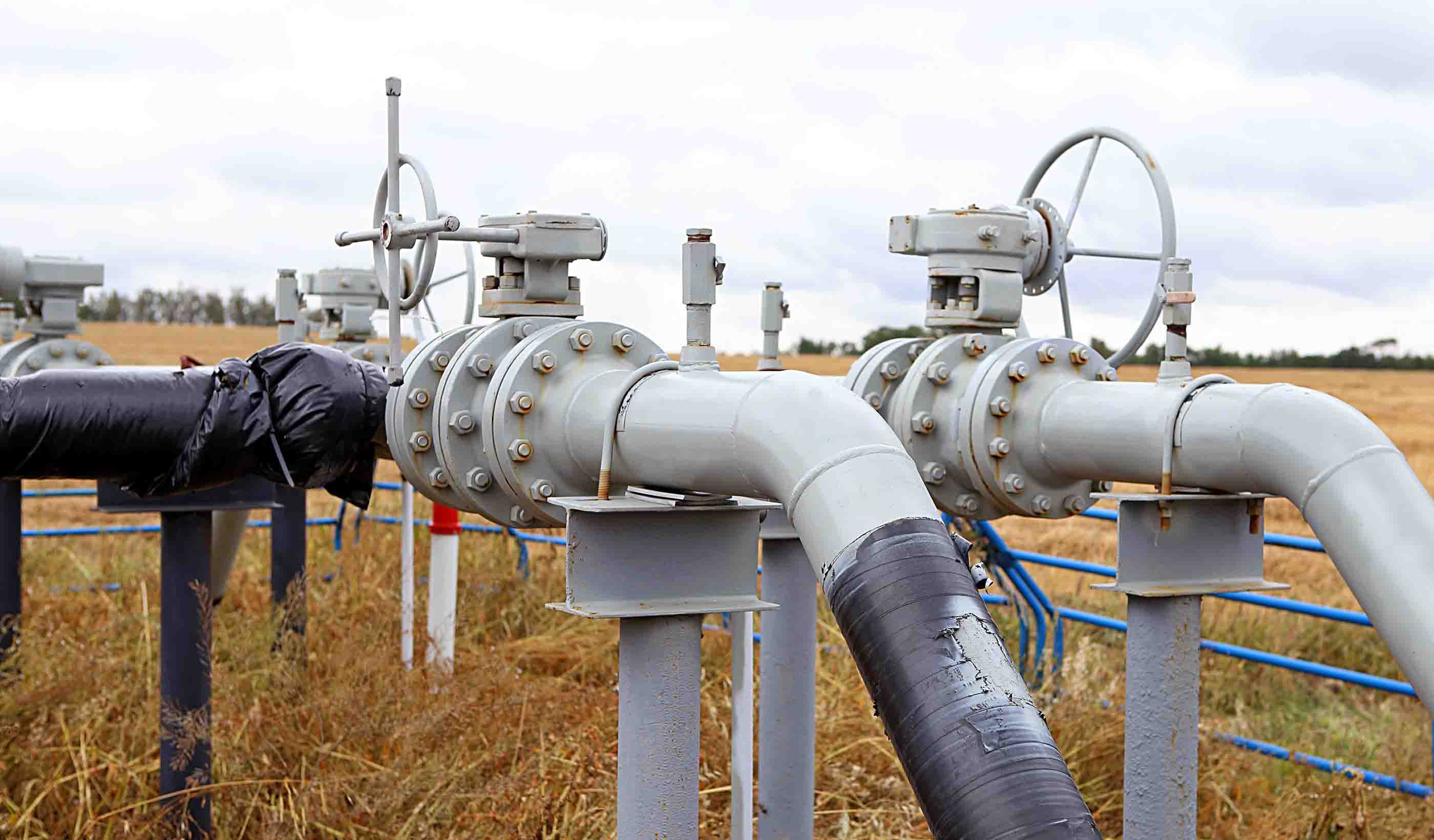
When buildings, roads, and railroads are built on permafrost, with a deep active layer, seasonal changes in the soil can wreak havoc on the structures above. In 2018, our client experienced a road collapse caused by permafrost thaw, with another two sites experiencing ground deformation due to permafrost activity. To better understand the changing characteristics of the permafrost, our client sought insights from our remote sensing services.
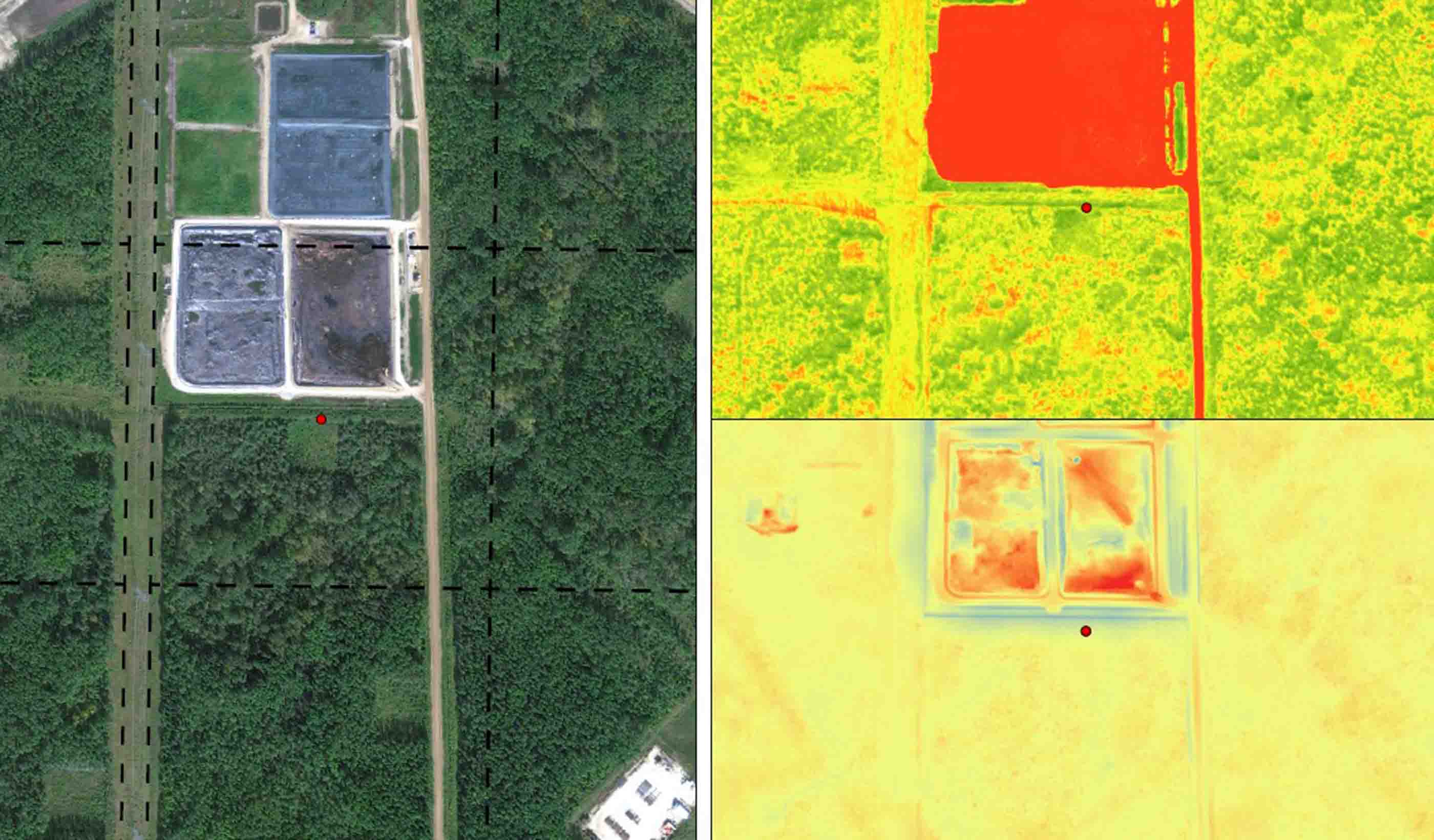
Our study used historical and newly gathered datasets using the Advanced Pixel System Intermittent Small-Baseline-Subset (APSIS) method (developed by our partner Terra Motion), with information acquired by remote sensing using Interferomic Synthetic Aperture Radar (InSAR). This technology provides vertical accuracy to one millimeter. The APSIS technique was used to develop a case study that validated the method for measuring subsidence in permafrost areas at local and regional levels to predict ground deformation caused by permafrost thaw.
We found that one site subsided 10 millimeters in two months, prior to infrastructure damage in the summer of 2018. However, ancillary LiDAR derived Digital Elevation Model (DEM) data helped the team determine that only areas with a slope of 10 degrees or higher, and landscape aspects facing the infrastructure, experienced damage. Our findings provided the client with a means to predict changes in ground levels, and now they can consider strategies to mitigate the effects on infrastructure.
- Location
- Alaska
- Offices
-
- Location
- Alaska
- Offices
Share
We’re better together
-
Become a client
Partner with us today to change how tomorrow looks. You’re exactly what’s needed to help us make it happen in your community.
-
Design your career
Work with passionate people who are experts in their field. Our teams love what they do and are driven by how their work makes an impact on the communities they serve.


