Surveying & Mapping
Exploring the boundaries
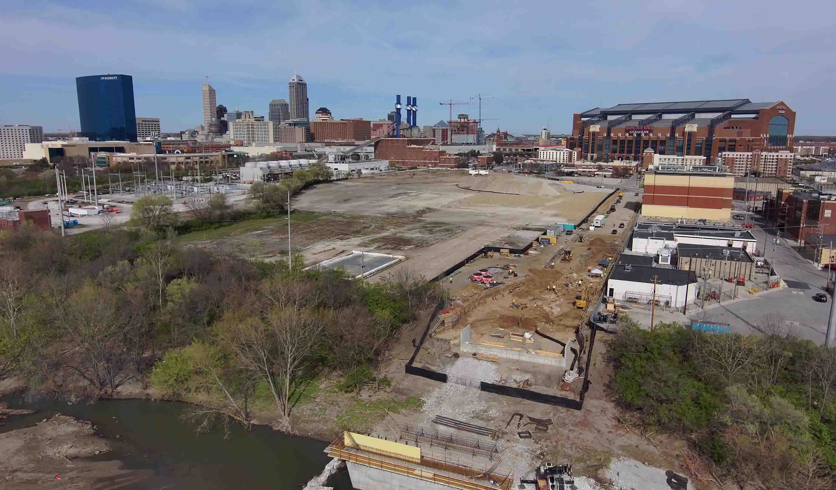
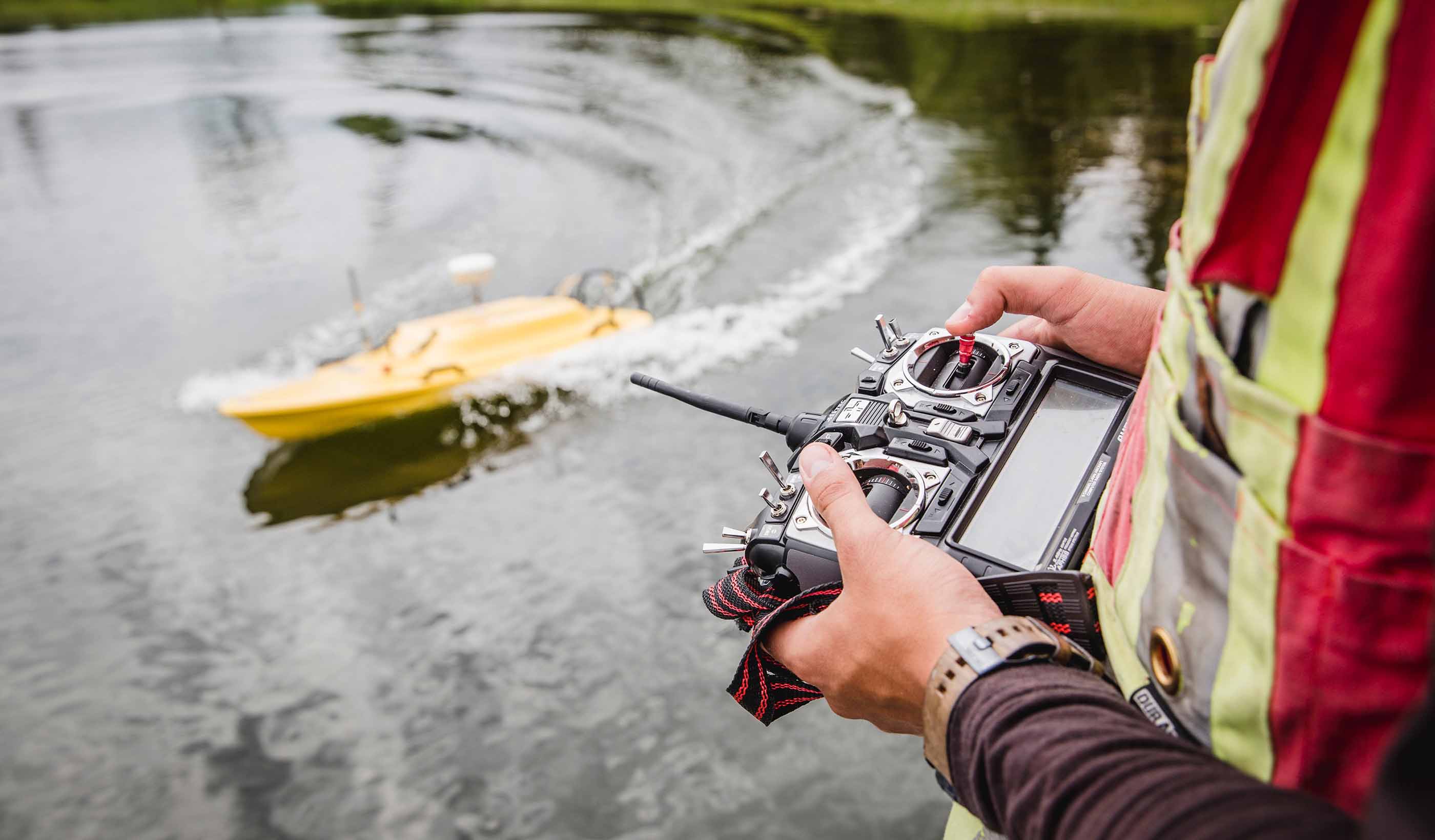
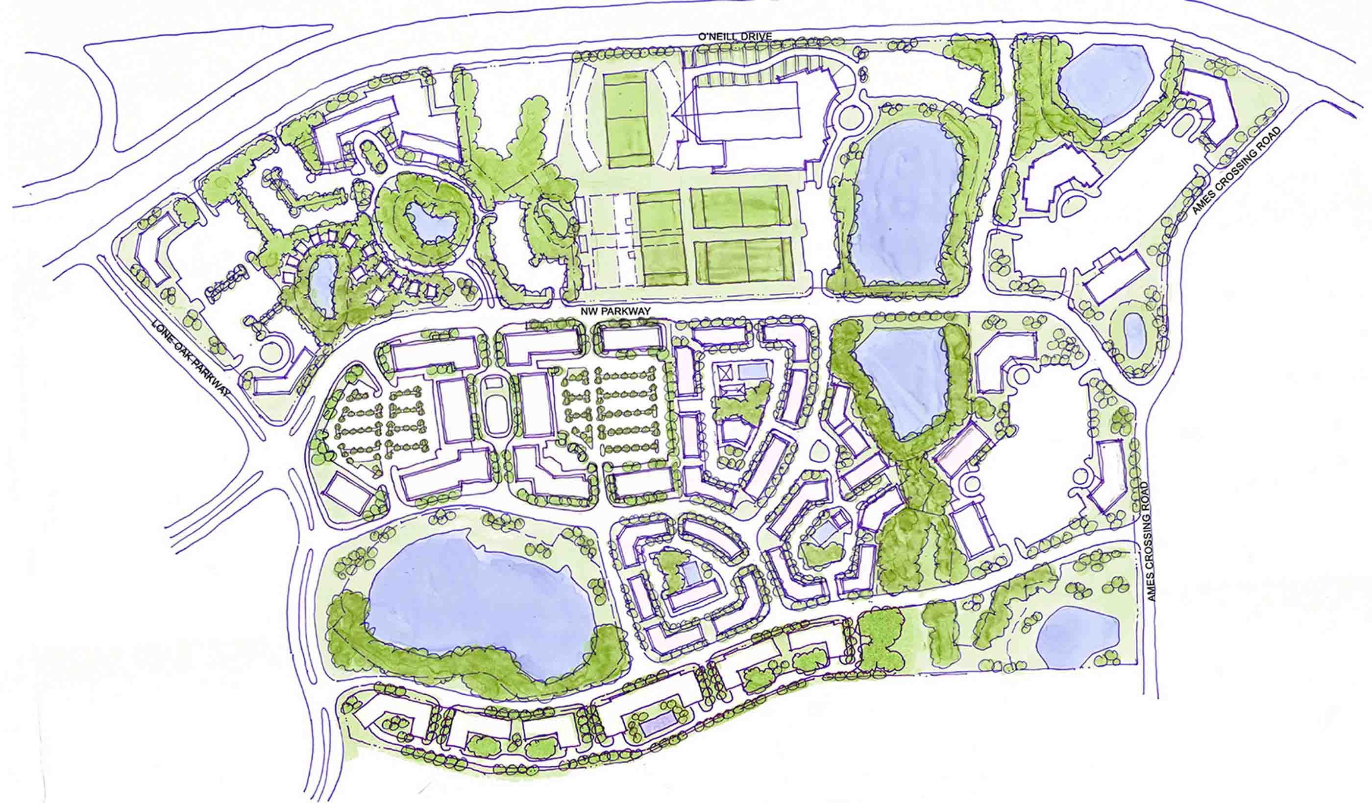
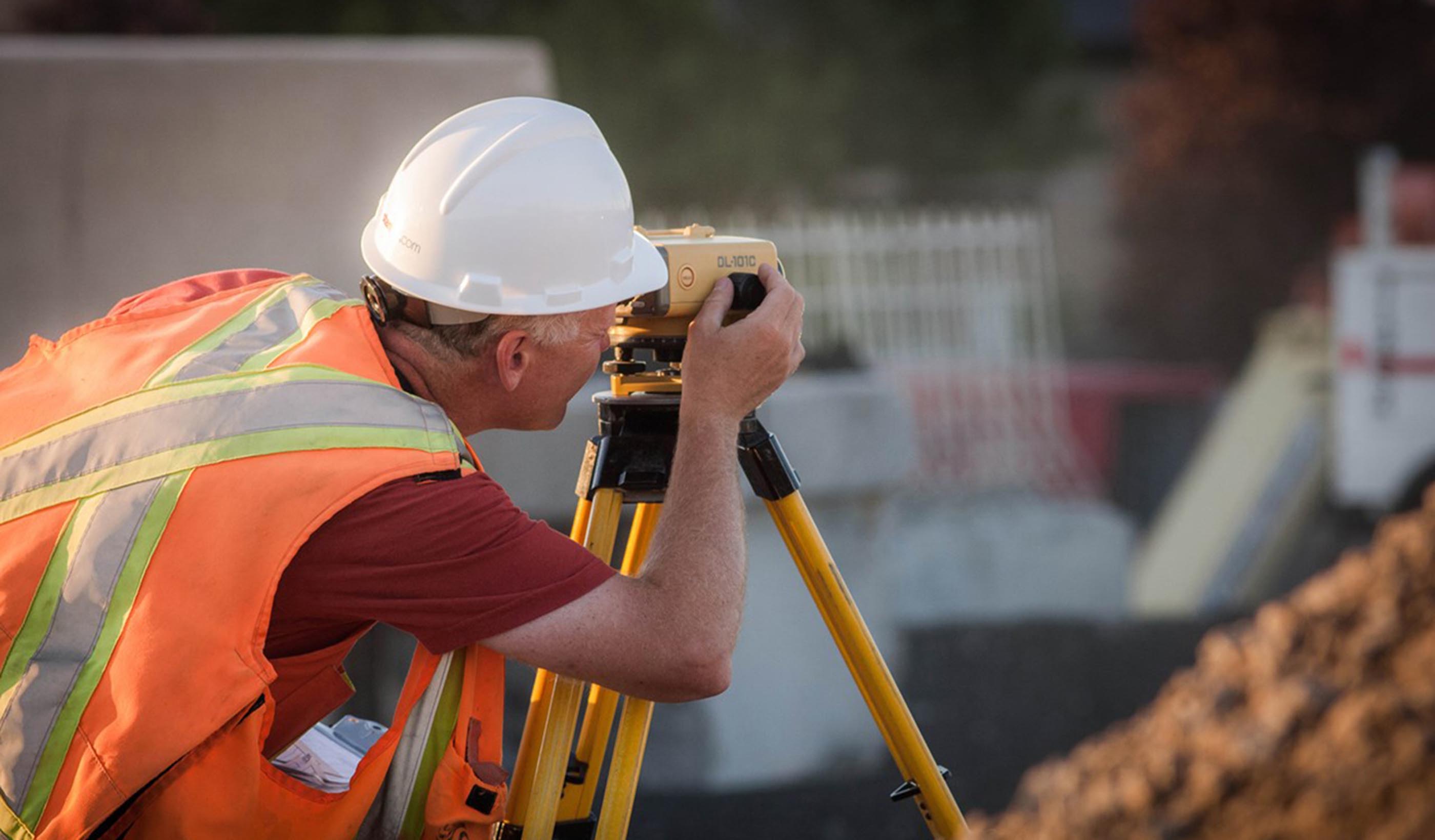
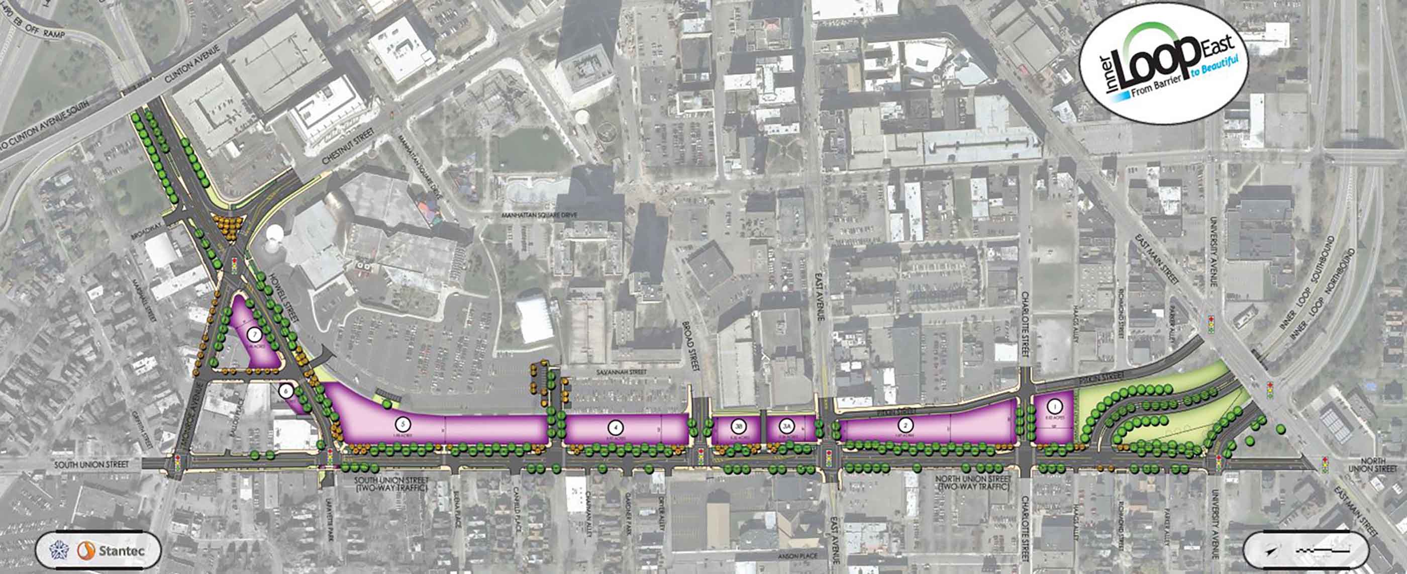
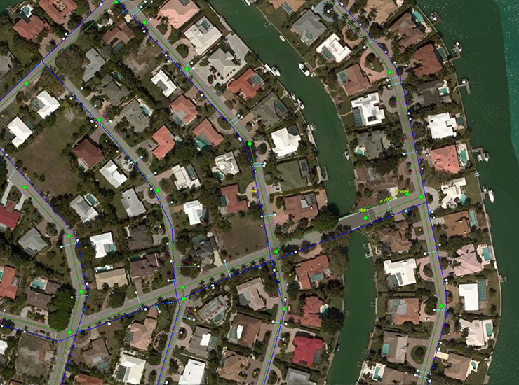
On, above, and below the earth’s surface—we provide surveying and mapping to define land boundaries, earth’s physical features, and the built environment. Armed with tools like GPS, GIS, 3D laser scanners, and aerial photogrammetry, we deliver innovative solutions for remote and challenging environments or complex urban settings. Our projects are as broad as the places we work including residential, industrial, highway, rail, aviation, utility and power, environmental, oil and gas, federal, and institutional. Geomatics is the science of collection, analysis, display, and management of spatial information. The art is interpreting this information for legal matters of land definition or to support mapping, design, or construction activities. Addressing unique logistical and technical aspects of each project, our experts offer services that include boundary and cadastral surveys, topographic mapping, construction staking, residential builder layout, ALTA/ACSM surveys, 3D laser scanning, geodetic and control surveys, route surveys, as-built surveys, aerial photogrammetric mapping, water rights surveys, hydrographic/bathometric mapping, and subsurface utility engineering.
Featured News
-
JP Harvey-Stantec Mentor-Protégé team secures $303 million in federal contractsRead More
-
Stantec recognized by Gold Fields’ Cerro Corona Mine for its efforts in achieving the Global Industry Standard on Tailings Management certificationRead More
-
Arizona Department of Transportation selects Coffman-Fisher and Stantec design-build team for final segment of the I-10 Wild Horse Pass Corridor improvementsRead More
-
European Climate, Infrastructure and Environment Executive Agency selects Stantec to lead EU4Ocean Coalition for Ocean LiteracyRead More
Webinar: Unmanned Aerial Systems (drones) – Benefits and Guidelines
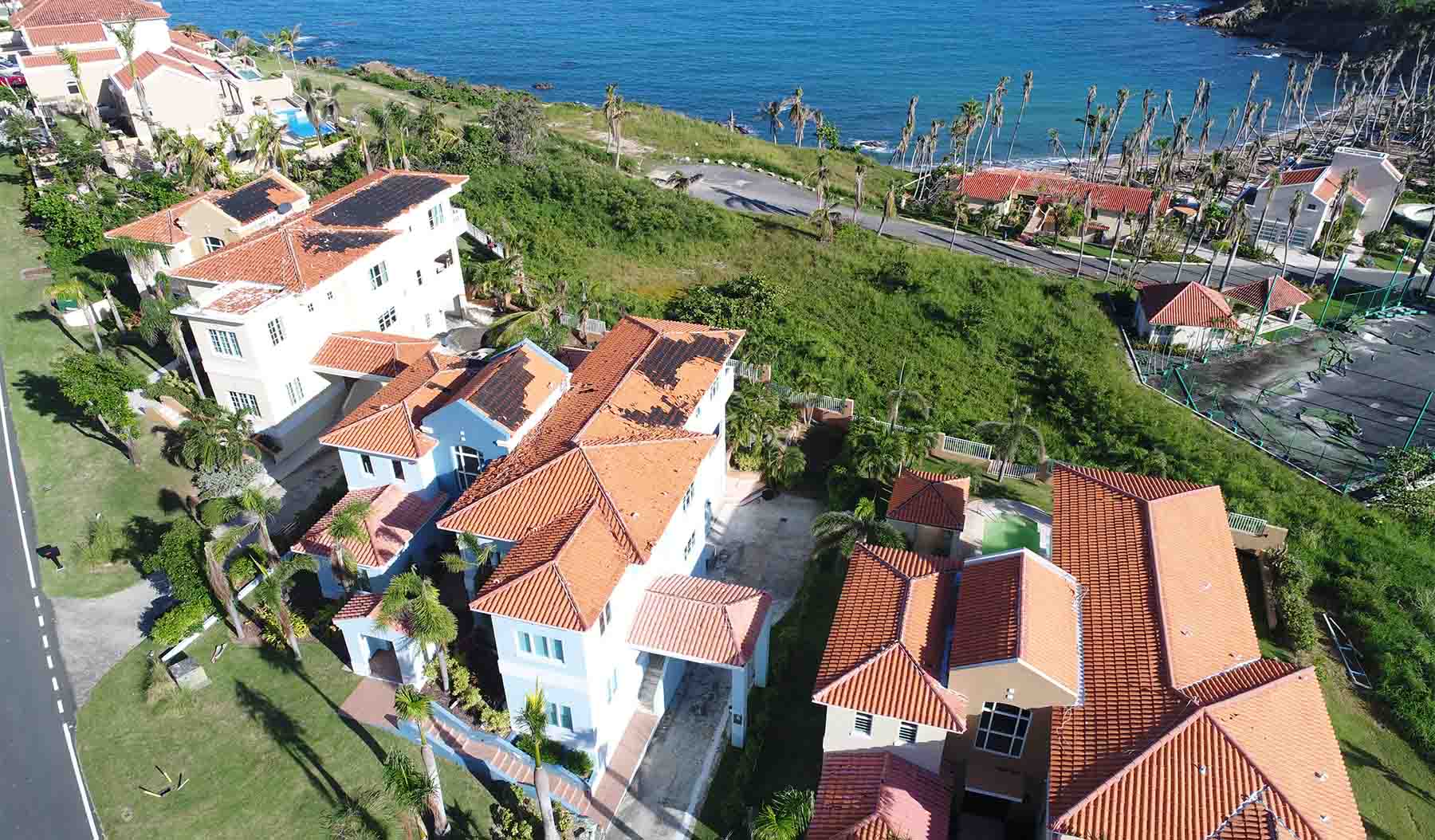
Unmanned Aerial Systems (UAS), more commonly known as drones, are creating buzz everywhere. These small, but advanced remote-controlled aircraft are becoming a vital part of the landscape architect and planner’s toolkit, providing accessibility to visual communication that is helping to shape our communities. Obtain 1 hour of professional development credits by attending the webinar. View MoreKevin MacLeod, Managing Senior Principal
As geomatics professionals, we provide information that is the foundation upon which our communities are designed and built.
Trevor Pasika , Senior Associate
Having fun is being challenged and working with a team just as passionate about seeing a project through from start to completion.
Clint Johnson, Principal
We work as a unified team to achieve common goals and resolve problems.
Dan Diffenbach, Surveyor
By integrating survey service into our projects we meet project goals in a more responsive, rapid way.
Joshua Sexton, Reality Capture Technology Manager
Unmanned aerial system platforms offer our clients efficiencies in precision, visual intelligence, cost savings, and accelerated schedules.
Matthew Zane, Survey Manager
Being a part of such diverse projects highlights the importance of survey and mapping for every project.
Tony Carpenter, Survey Manager
Surveying is a problem-solving profession—it’s our job to look for solutions where others might not see them.
Related Services
We’re better together
-
Become a client
Partner with us today to change how tomorrow looks. You’re exactly what’s needed to help us make it happen in your community.
-
Design your career
Work with passionate people who are experts in their field. Our teams love what they do and are driven by how their work makes an impact on the communities they serve.
