At a Glance
-
2
Miles Restored
-
50
Years Erosion Offset
- Location
- Port Mansfield, Texas
- Offices
-
-
Client
-
-
Willacy County Navigation District
-
- Location
- Port Mansfield, Texas
- Offices
- Client
-
- Willacy County Navigation District
Share
Port Mansfield Dredging and Beneficial Use Regulatory Coordination
Looking to safeguard the maritime commerce and maintain the hydrological connectivity of the Laguna Madre to the Gulf of Mexico, the Willacy County Navigation District selected our team to address rapid shoaling in the Port Mansfield ship channel.
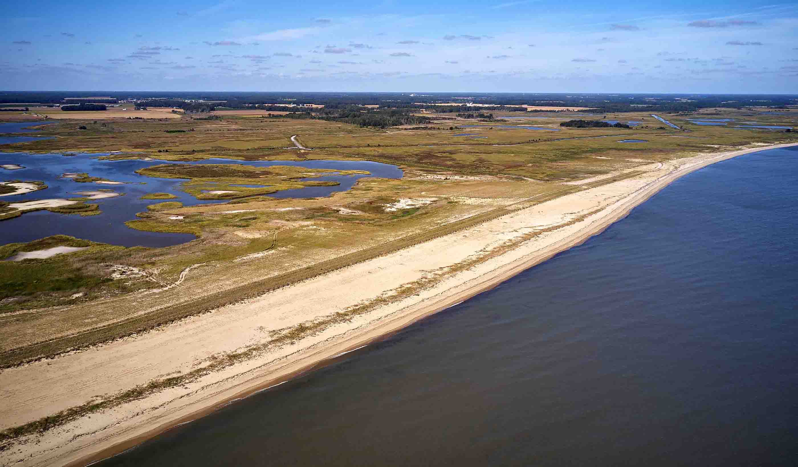
We’re obtaining the required permits for maintenance dredging of 20,000 feet (6,096 metres) of navigable waterways. Sediment from the channel will be used to nourish the severely eroded beach, enhancing turtle nesting habitats and shorebird environments on the beaches and dunes of the Padre Island National Seashore. We performed geotechnical analysis, calculated sedimentation rates, performed wetland delineations, threatened and endangered species habitat assessments, and preliminary design.
This project has laid the groundwork for the implementation of the future Coastal Texas Project. The Texas General Land Office recognizes the significance of this work to the resilience of the Texas coast and has funded the next phase of work. This will include data collection and the development of plans, technical specifications, and cost estimates to preparate for the next dredging and beach nourishment event under a holistic sediment management approach.
In addition to protecting port operations and enhancing maritime commerce, this project will prevent the loss of critical natural habitats. Notably, it will restore the coastal nesting place of Kemp’s ridley turtles—the world's most endangered species of sea turtle.
At a Glance
-
2
Miles Restored
-
50
Years Erosion Offset
- Location
- Port Mansfield, Texas
- Offices
-
-
Client
-
-
Willacy County Navigation District
-
- Location
- Port Mansfield, Texas
- Offices
- Client
-
- Willacy County Navigation District
Share
Luis Maristany, Senior Coastal Engineer
Even the most complex problems can have simple solutions.
Stephanie Rogers, Senior Associate, Coastal Engineer, Office Leader
As a coastal conservation advocate, I strive to help clients find balance between human development and delicate ecosystems.
Derek Salazar, Project Manager, Coastal Engineer
I combine personal passion with professional expertise to build resilience where the land meets the sea.
We’re better together
-
Become a client
Partner with us today to change how tomorrow looks. You’re exactly what’s needed to help us make it happen in your community.
-
Design your career
Work with passionate people who are experts in their field. Our teams love what they do and are driven by how their work makes an impact on the communities they serve.


