- Location
- Dunedin, New Zealand
- Offices
-
-
Client
-
-
Dunedin City Council
-
- Location
- Dunedin, New Zealand
- Offices
- Client
-
- Dunedin City Council
Share
Green Island Resource Recovery and Processing Precinct UAS Monitoring
With population and economic growth comes an increase in waste products produced by households and business. Although reducing, re-using and recycling are a bigger part of daily life, managing waste is still a challenge.
The Green Island Recovery and Processing Precinct lies 12 kilometres (7.5 miles) from the City of Dunedin, New Zealand. The 50-hectare (124-acre) active landfill facility has seen pressures mounting on its available landfill spaces of late. Dunedin City Council has even considered exporting waste. But until another facility at Smooth Hill comes online, the Green Island Centre is the sole repository of waste fill for the City. What does this mean? The site needs to be monitored to determine its future, potential capacity.
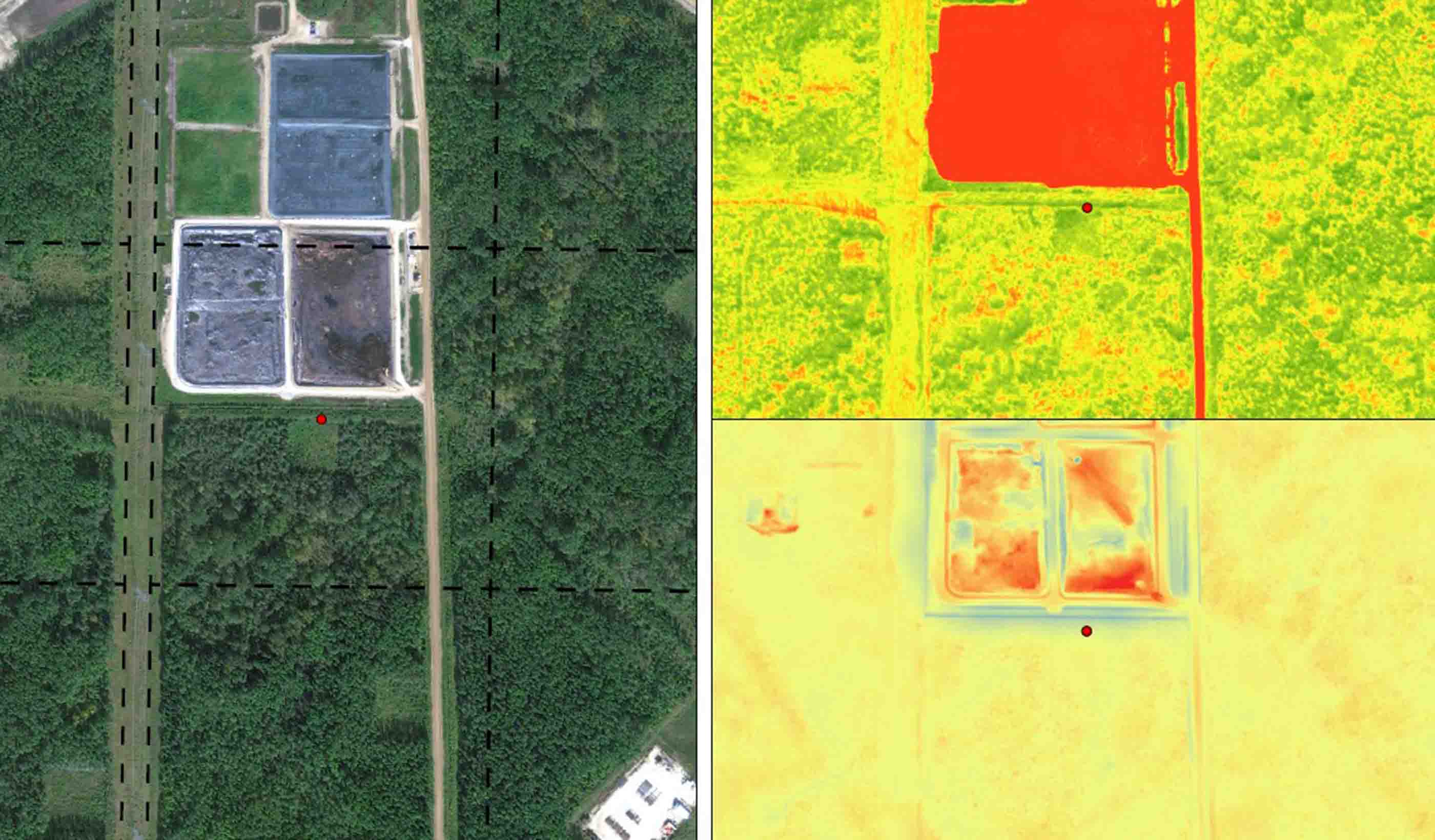
We were retained to undertake a progressive topographic survey every three months using an unmanned aerial system (UAS) processed in-office with photogrammetry software. UAS photos and photogrammetry is a remote sensing option that has allowed swift data capture to be accomplished from a safe location well away from active facility operations and equipment, such as trucks and loaders, or unsafe conditions underfoot.
Providing fast, accurate data has helped Waste Management and the Council, as well as many of its subconsultants, carry out design work to extend the life of this active landfill.
- Location
- Dunedin, New Zealand
- Offices
-
-
Client
-
-
Dunedin City Council
-
- Location
- Dunedin, New Zealand
- Offices
- Client
-
- Dunedin City Council
Share
We’re better together
-
Become a client
Partner with us today to change how tomorrow looks. You’re exactly what’s needed to help us make it happen in your community.
-
Design your career
Work with passionate people who are experts in their field. Our teams love what they do and are driven by how their work makes an impact on the communities they serve.


