At a Glance
-
162%
Increased Volume
- Location
- Ruakākā, New Zealand
- Offices
-
-
Client
-
-
Whangārei District Council
-
- Location
- Ruakākā, New Zealand
- Offices
- Client
-
- Whangārei District Council
Share
Rama Road Disposal Field
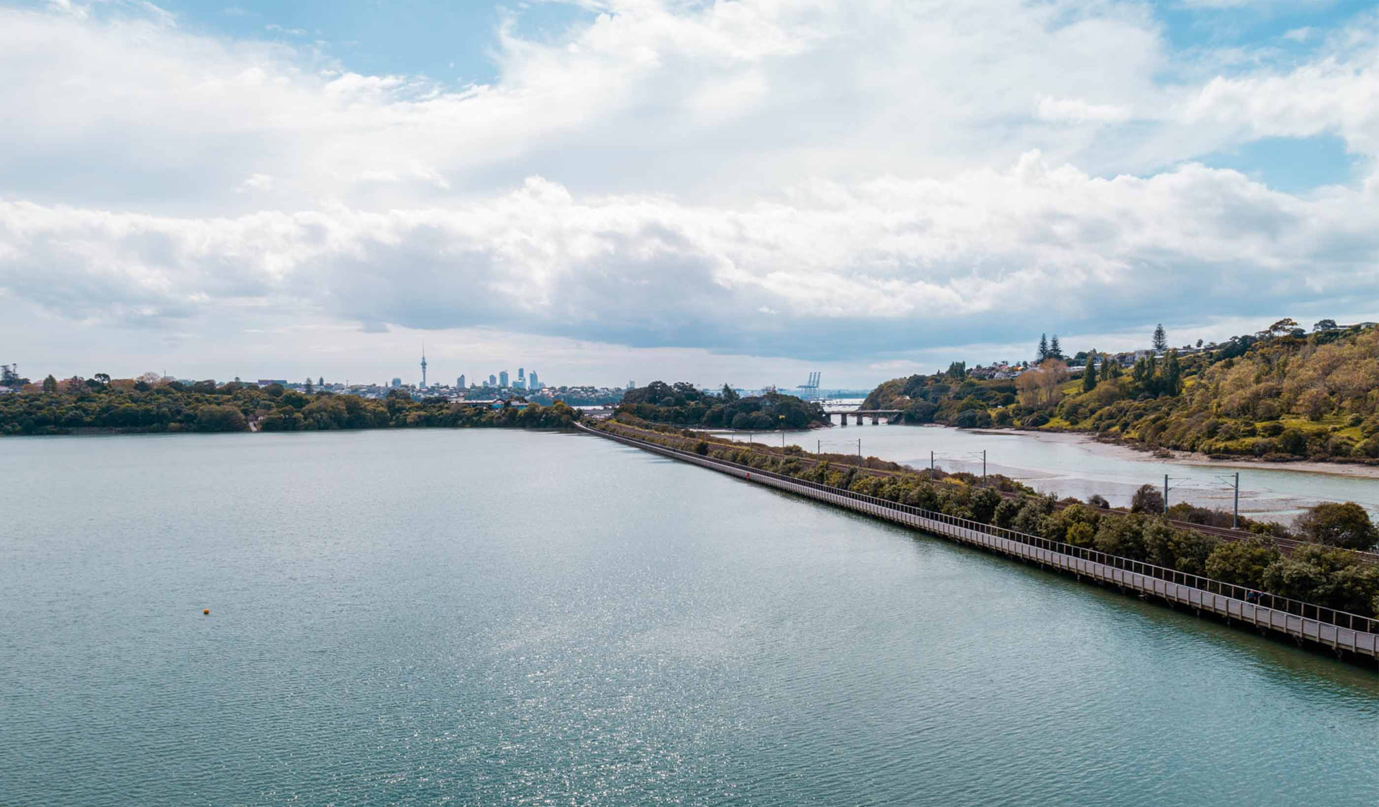
Everyday living creates wastewater that’s treated and often piped to wastewater disposal fields—where unsaturated soil receives pretreated wastewater via distribution piping onto soil infiltration surfaces. These surfaces are porous media, such as gravel or manufactured components placed in the field where the ground accepts, treats, and disperses wastewater as it percolates through the soil, ultimately discharging it to groundwater.
We were asked to help the Whangārei District Council determine the maximum allowable volume of wastewater that could be applied to the Ruakākā wastewater treatment plant disposal block at Rama Road. To do this, we monitored groundwater levels and modelled treated wastewater on the block to predict the levels of acceptable application rates without causing adverse effects. Using groundwater modelling software to model the hydrogeological system and produce projections helps the Council make informed planning decisions when designing any extensions to the wastewater requirements in Whangārei.
As a result of our work, the Council has the necessary information to make informed decisions about what their Rama Road disposal field can accommodate.
At a Glance
-
162%
Increased Volume
- Location
- Ruakākā, New Zealand
- Offices
-
-
Client
-
-
Whangārei District Council
-
- Location
- Ruakākā, New Zealand
- Offices
- Client
-
- Whangārei District Council
Share
We’re better together
-
Become a client
Partner with us today to change how tomorrow looks. You’re exactly what’s needed to help us make it happen in your community.
-
Design your career
Work with passionate people who are experts in their field. Our teams love what they do and are driven by how their work makes an impact on the communities they serve.


