Geohazards
Keeping communities safe from geohazards
What do you think of when you hear “geological hazards”? Volcanoes and earthquakes would probably come to mind first: phenomena that wouldn’t really affect us in Australia.
Geological hazards—or geohazards—are geological and geomorphological processes, phenomena, or conditions that may pose a threat to the safety and wellbeing of communities, infrastructure, property, and the environment in all areas.
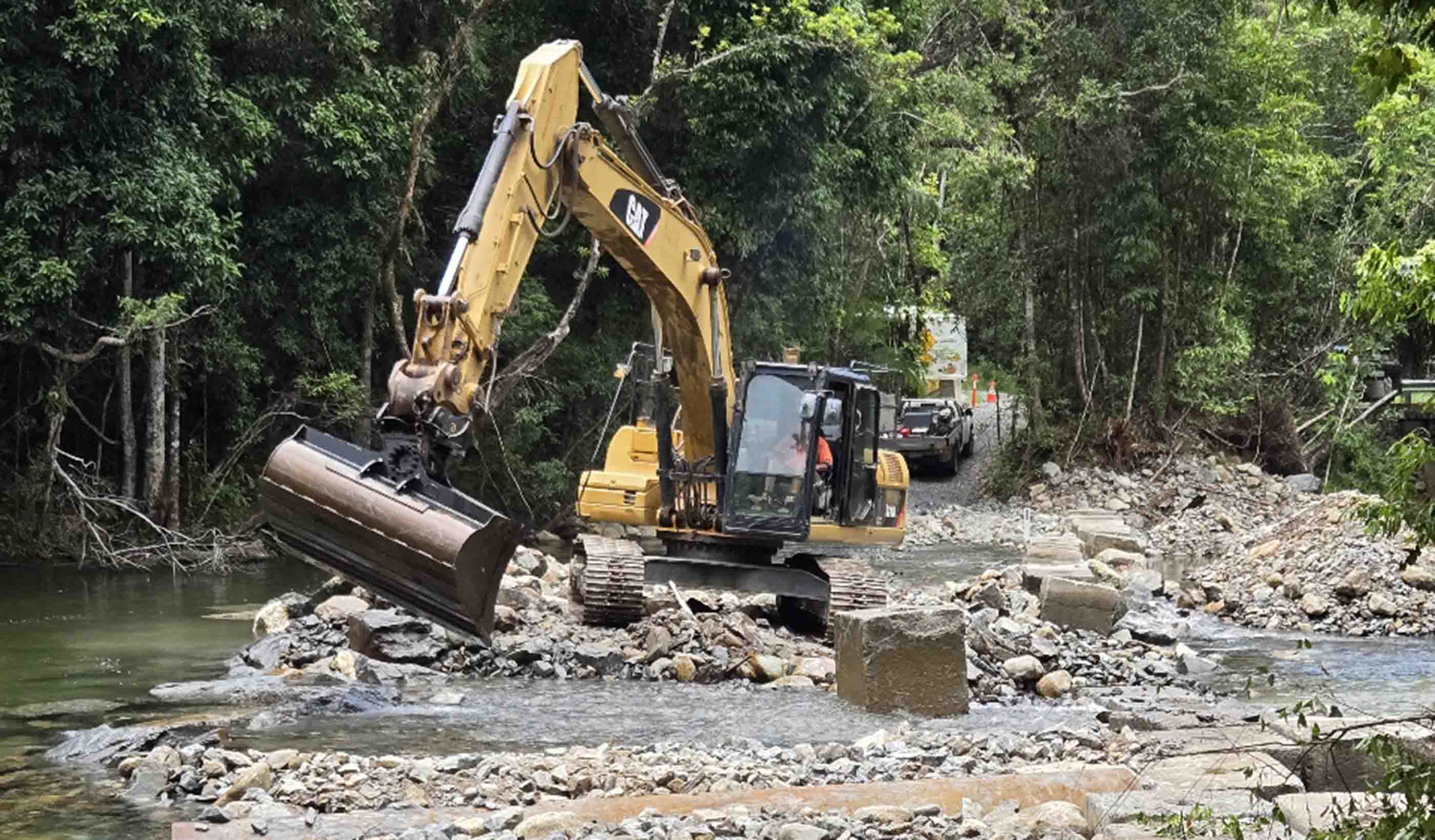
Landslides, rock falls, floods, subsidence, seismicity and erosion are common geohazards that affect both people and infrastructure in Australia. The identification and remediation of geohazards reduces the impacts on the assets that make up your community.
Our specialists are dedicated to reducing impacts, preserving critical infrastructure, safeguarding the environment, and educating communities. We help you understand which hazards you’re likely to encounter over the life of your project and what their potential impacts could be—from earliest concept through to construction and maintenance.
Reducing geohazard risks
Our team combines detailed digital mapping, field reconnaissance, intrusive site investigation, and instrumentation with geophysical and remote sensing techniques. This suite of tools helps us identify and investigate potential hazards—but also engineer solutions. We conduct risk assessments on existing infrastructure such as transport, conveyance, and transmission lines as well as environmental hazards including slope stability and debris flow. Let us and our geotechnical and civil engineering colleagues design your solutions.Aerial survey technology improving accuracy and accessibility
Using the latest aerial survey technology allows us to review places inaccessible on foot, enhancing the speed and accuracy of risk assessments. With growing demand for greater access to natural areas, the New South Wales National Parks and Wildlife Services (NPWS) chose our team to carry out a geotechnical landslide risk assessment for a proposed trail and trail upgrades in the park. A drone was used to assist, and the images and models derived from the aerial survey helped provide a comprehensive baseline of the cliff line’s status. Read MoreTrudie Bradbury, Principal Engineering Geologist/Team Leader, Geology and Geohazards
Aim to fly higher than all, farther than all, faster than all.
Andy Williams, Business Leader, Geosciences, QLD
There’s really no problem we can’t solve when we focus all of our resources efficiently and accurately.
Amy Steiger, Geospatial Discipline Lead, ANZ
Spatial science and digital technology is expanding at a rapid pace, and I love how we can use this knowledge to improve project outcomes.
Davin Slade, Senior Principal Geotechnical Engineer, Geotechnical Engineering Practice Leader
As a geotechnical engineer, I enjoy working in a field that enables other civil engineering fields to design and construct their projects.
David Ronchi, Senior Principal Geotechnical Engineer
Connection to the natural environment is important to grasp and understand the work I do, so I balance my time on site and in the office.
We’re better together
-
Become a client
Partner with us today to change how tomorrow looks. You’re exactly what’s needed to help us make it happen in your community.
-
Design your career
Work with passionate people who are experts in their field. Our teams love what they do and are driven by how their work makes an impact on the communities they serve.


